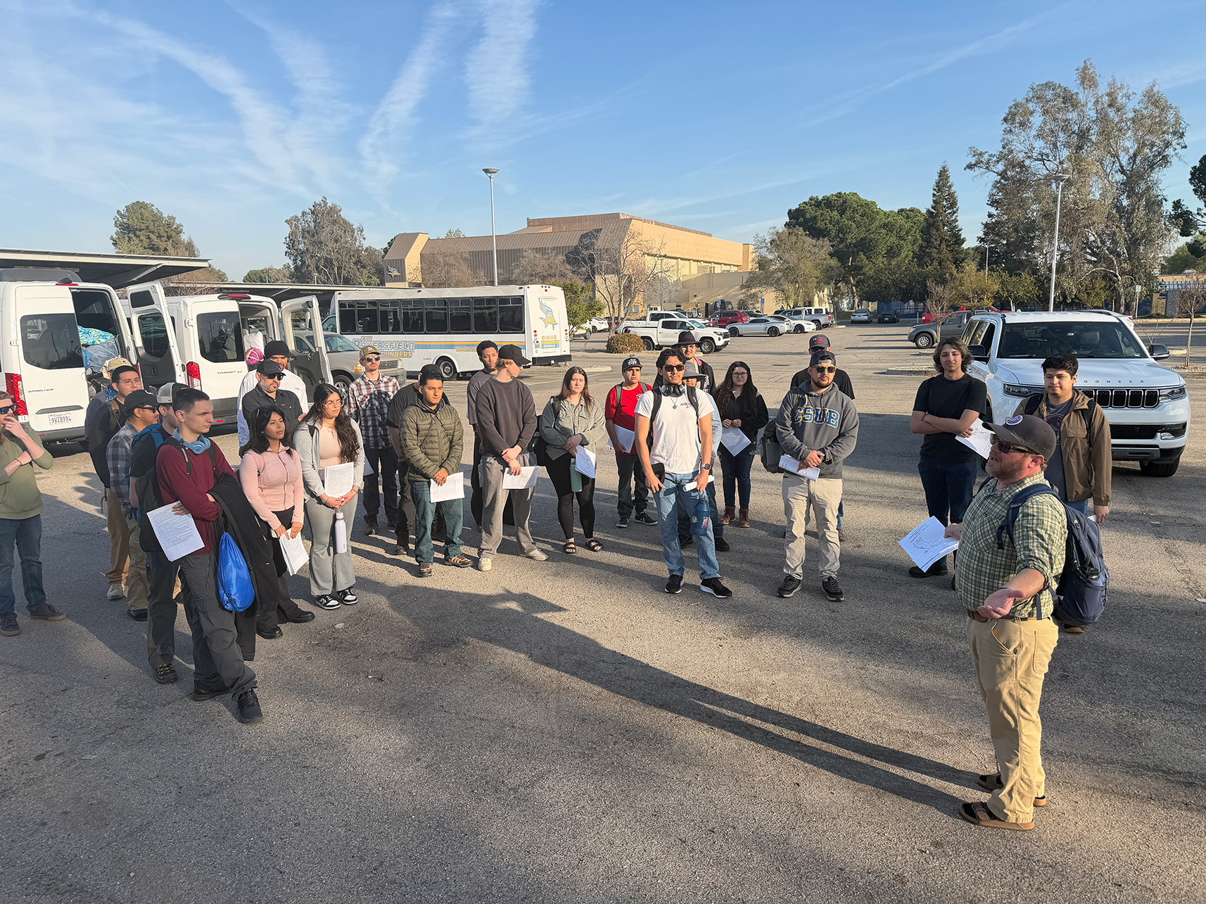
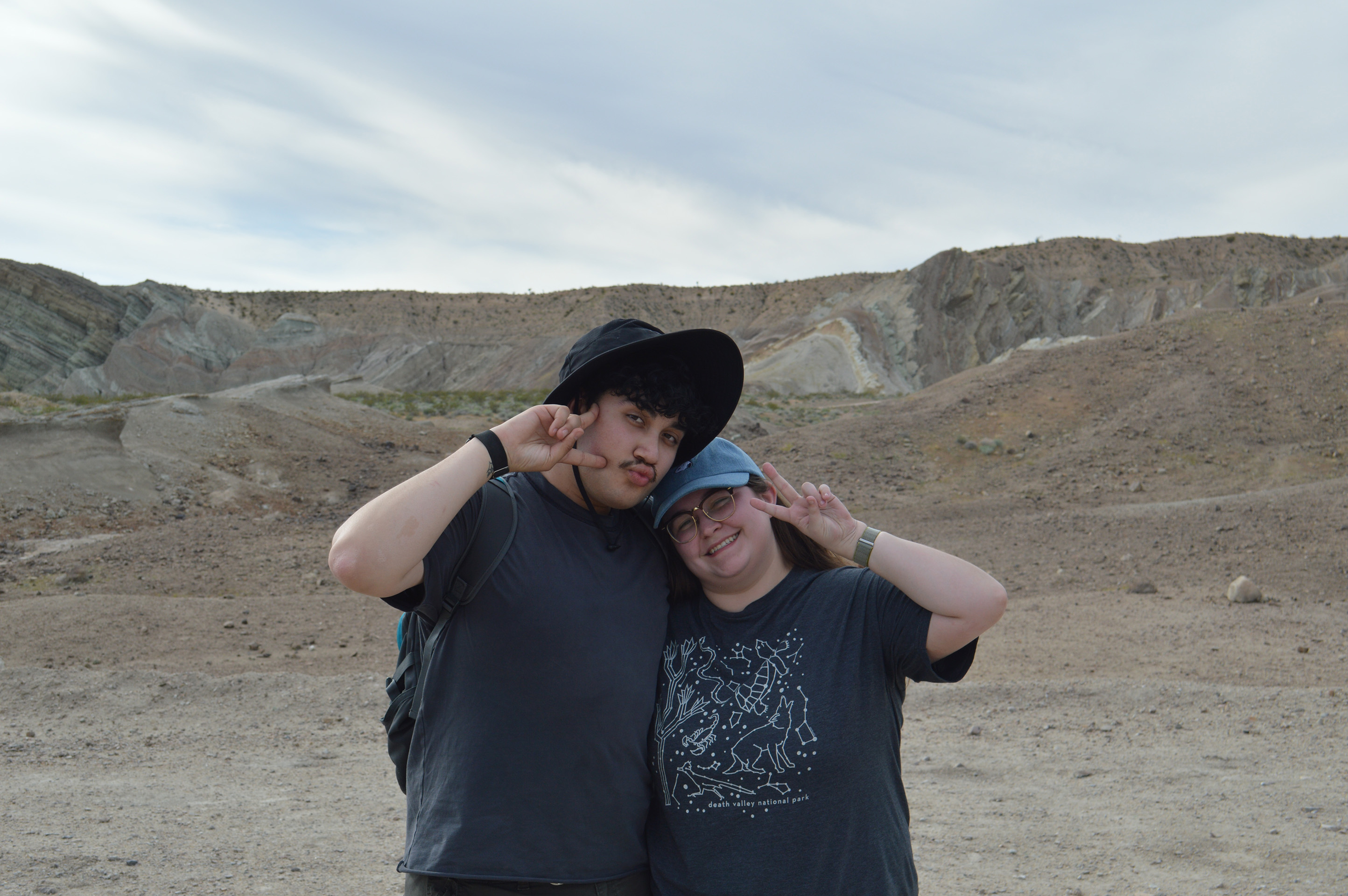
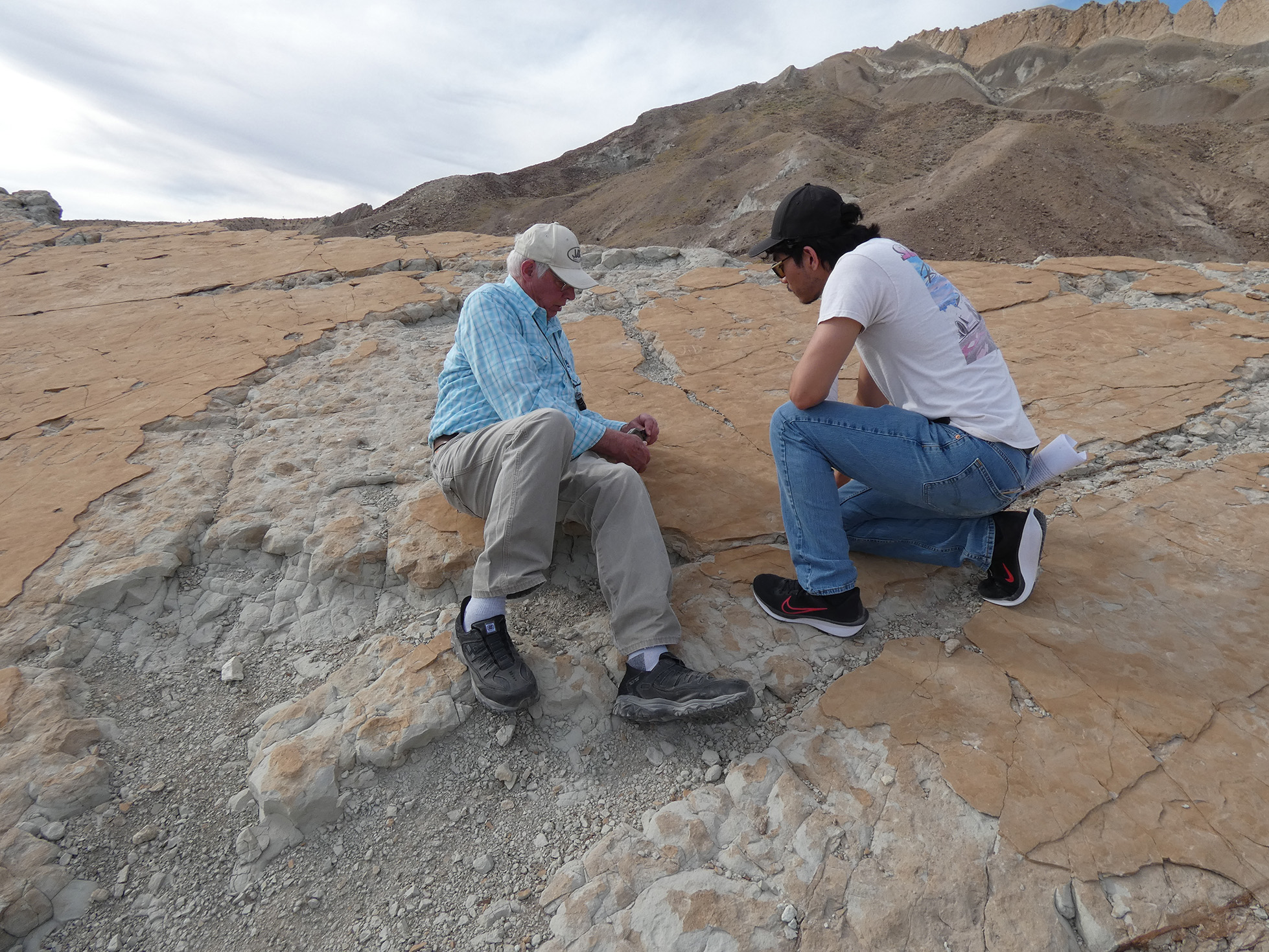
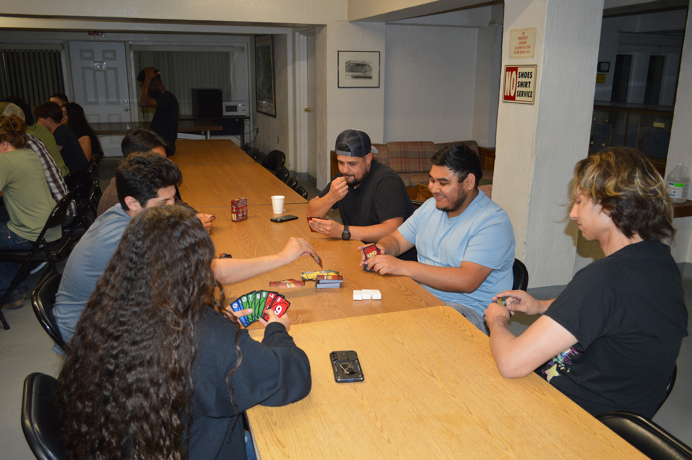
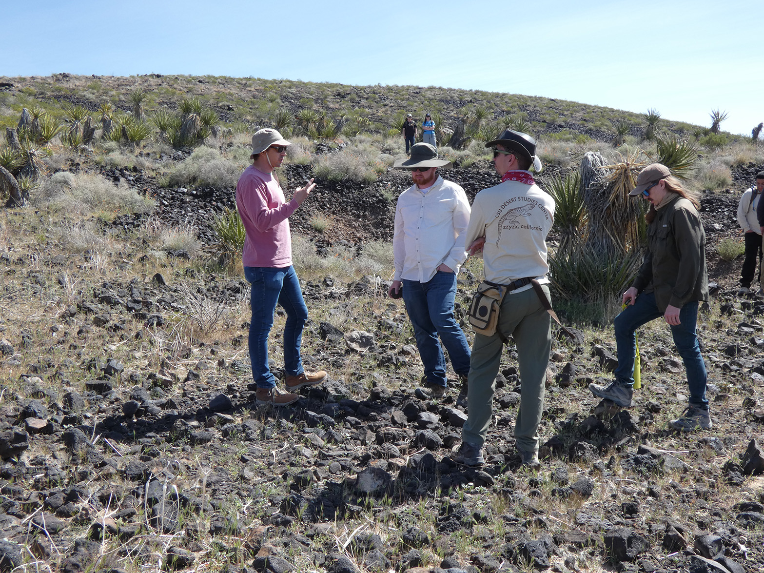
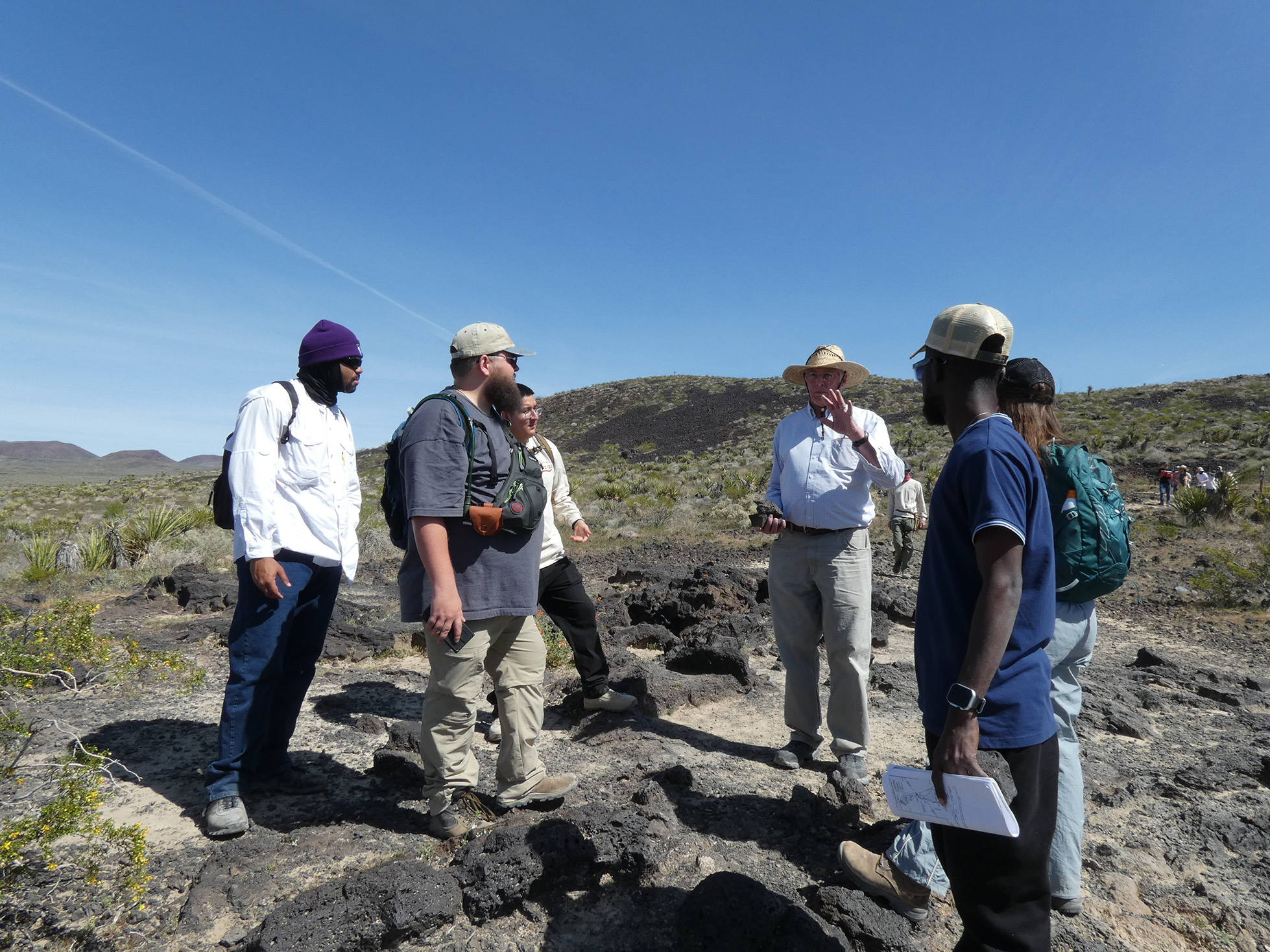
On March 13-15, the CSUB Geology Department took a field trip to explore the geology of the Mojave Desert and Death Valley. Dr. Chris Krugh led the way, and was joined by Dr. Rathburn, Dr. Crewdson, Dr. Herman, Shauna Van Grinsven, and Cecily Rink. In addition to the many CSUB geology students who participated in the trip, several Bakersfield College geology students joined as well.
Friday, March 13
Departing CSUB
On a warm, sunny Friday morning, everyone met in the CSUB parking lot. After splitting up into vans, we were on our way!
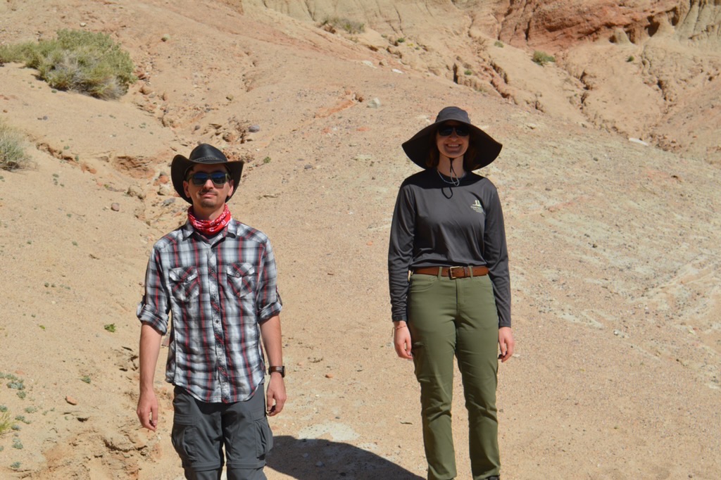
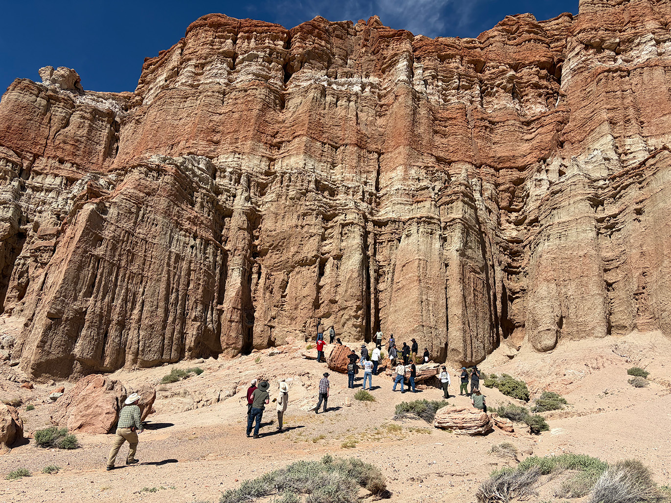
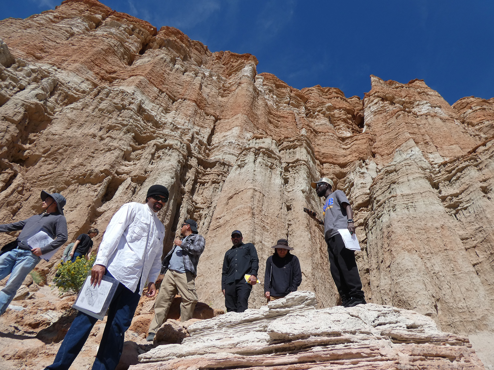
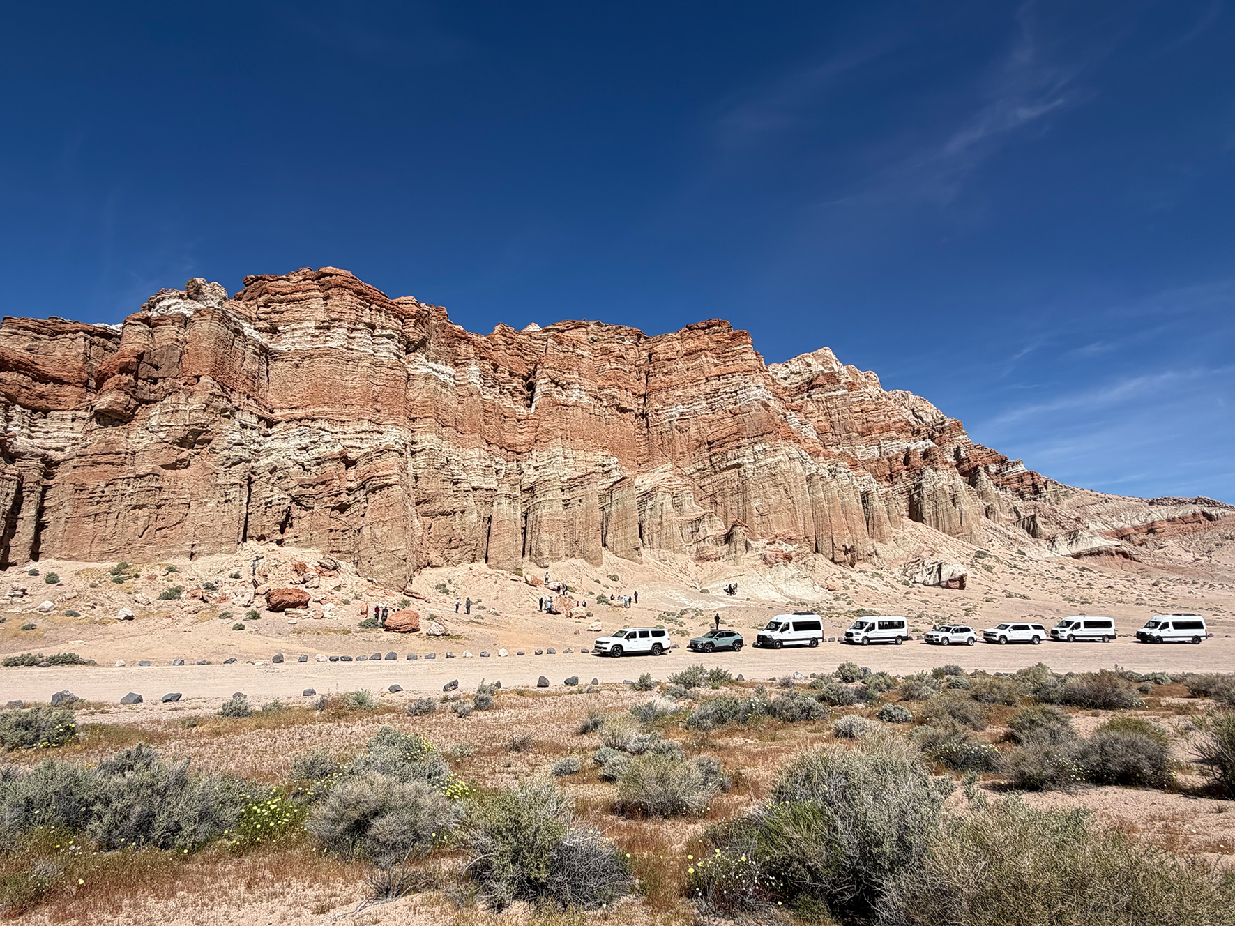
Red Rock Canyon State Park
The first stop was Red Rock Canyon State Park, a short drive from Tehachapi. These picturesque layered rocks have been the setting for many science-fiction movies.
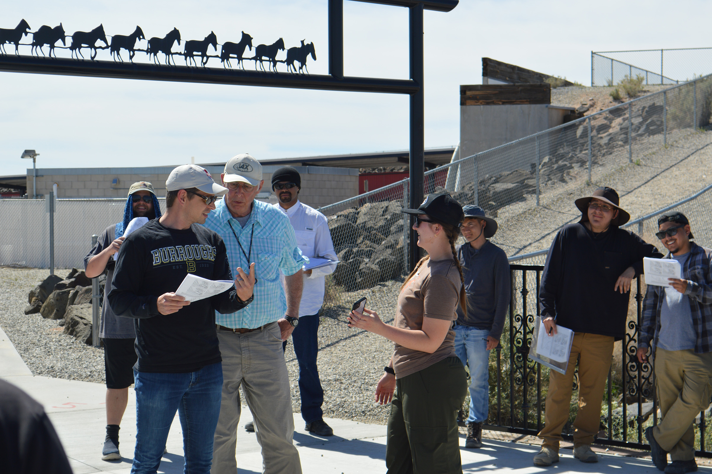
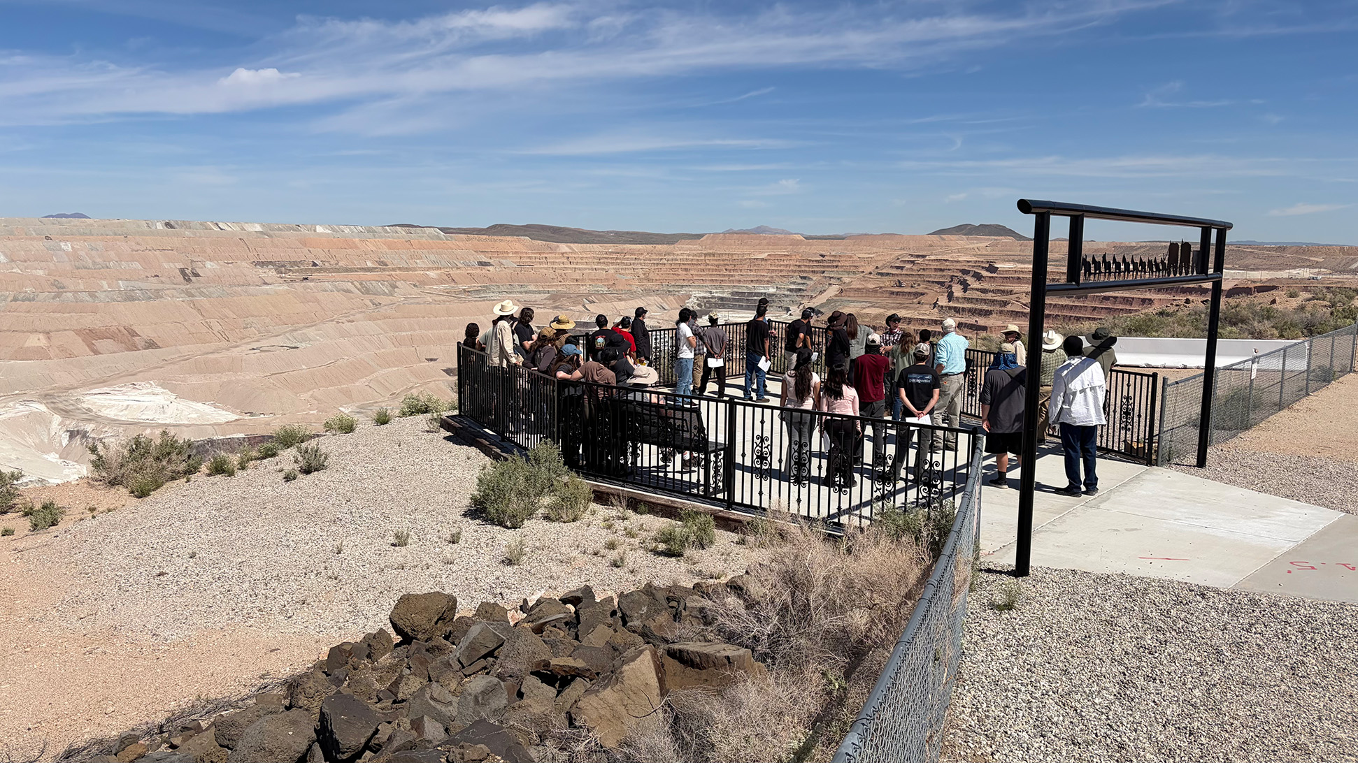
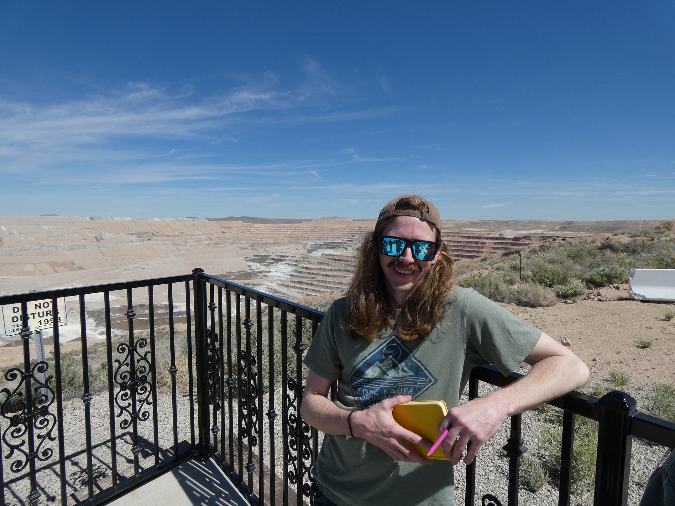
Boron Mine
The museum and overview at the Rio Tinto Boron Mine is a popular stop, showing off the economic potential of the Mojave Desert and the scale of industrial mining.
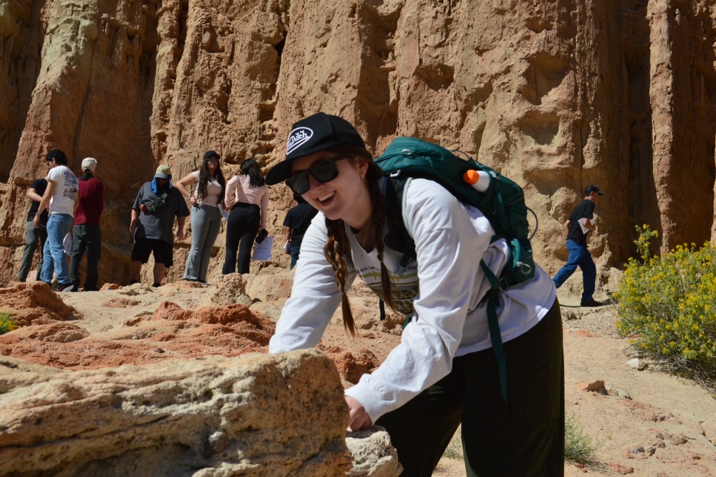
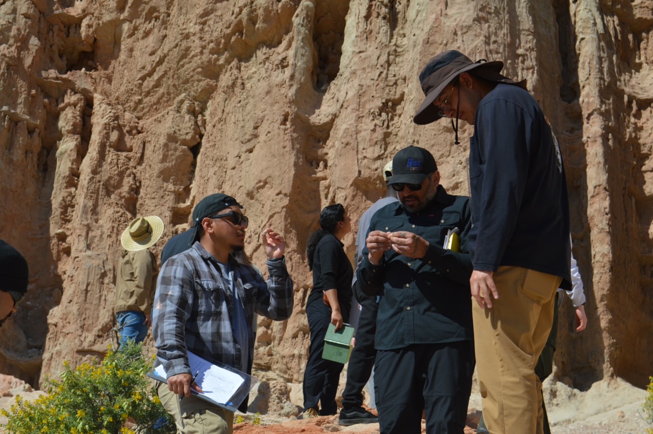
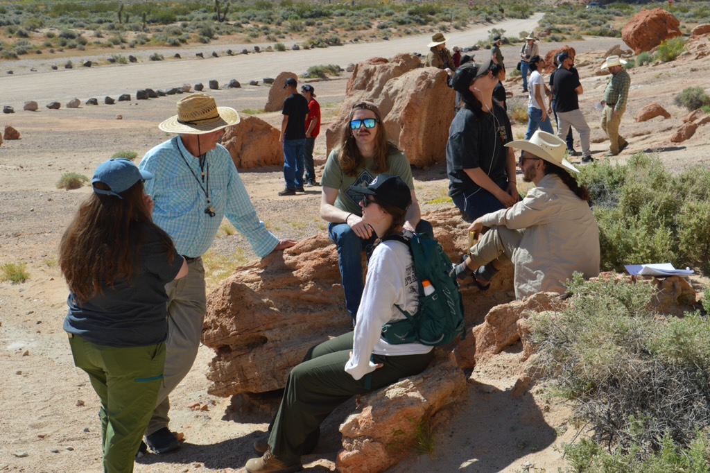
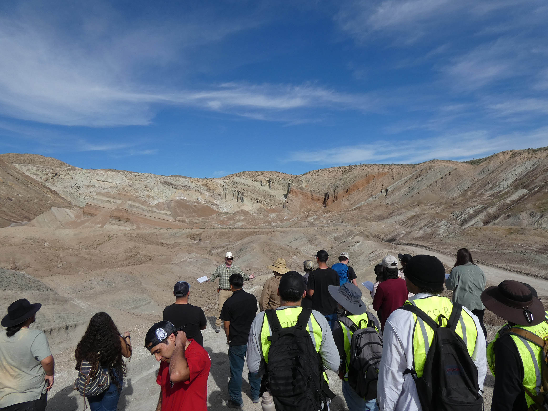
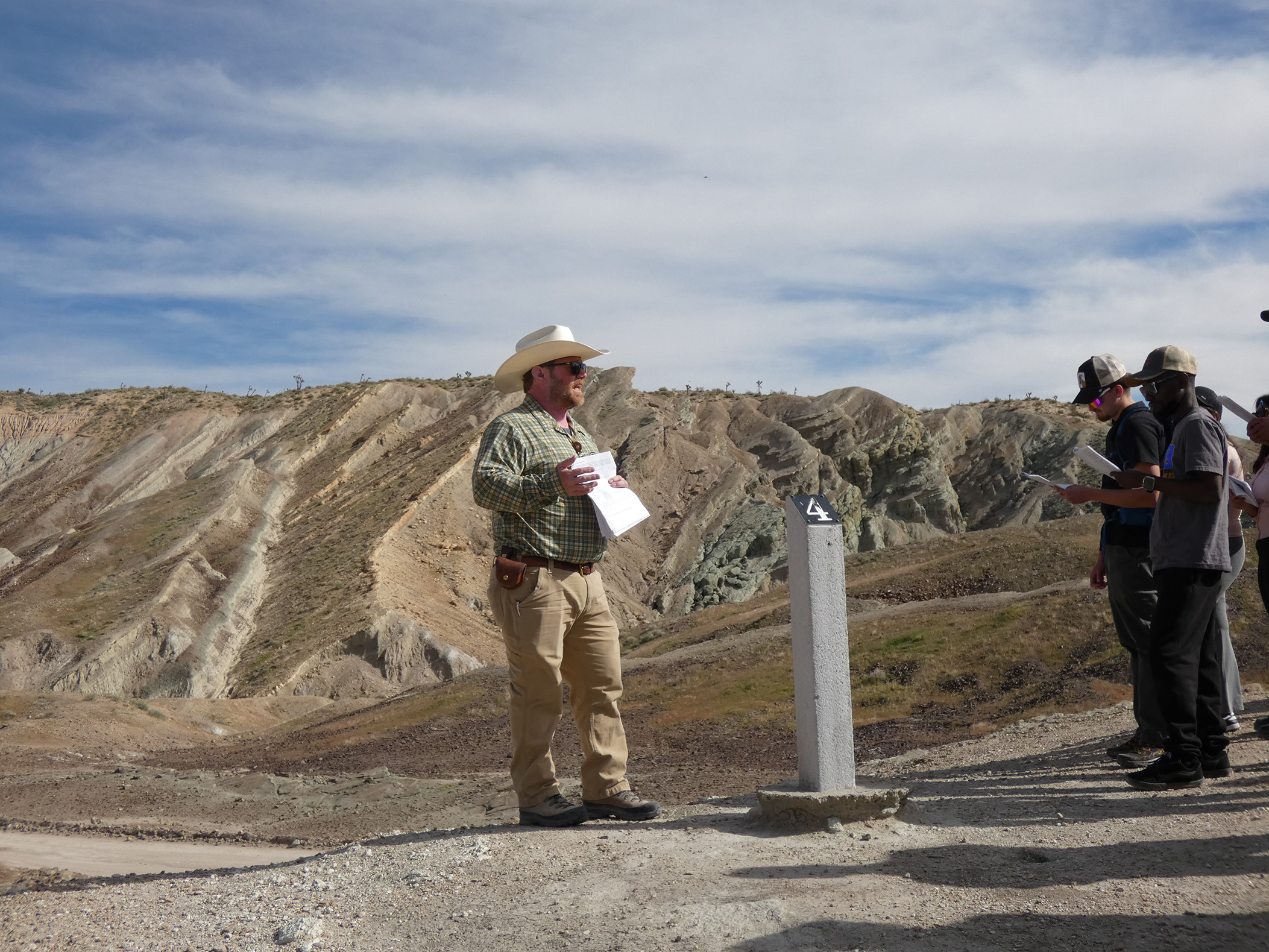
Rainbow Basin
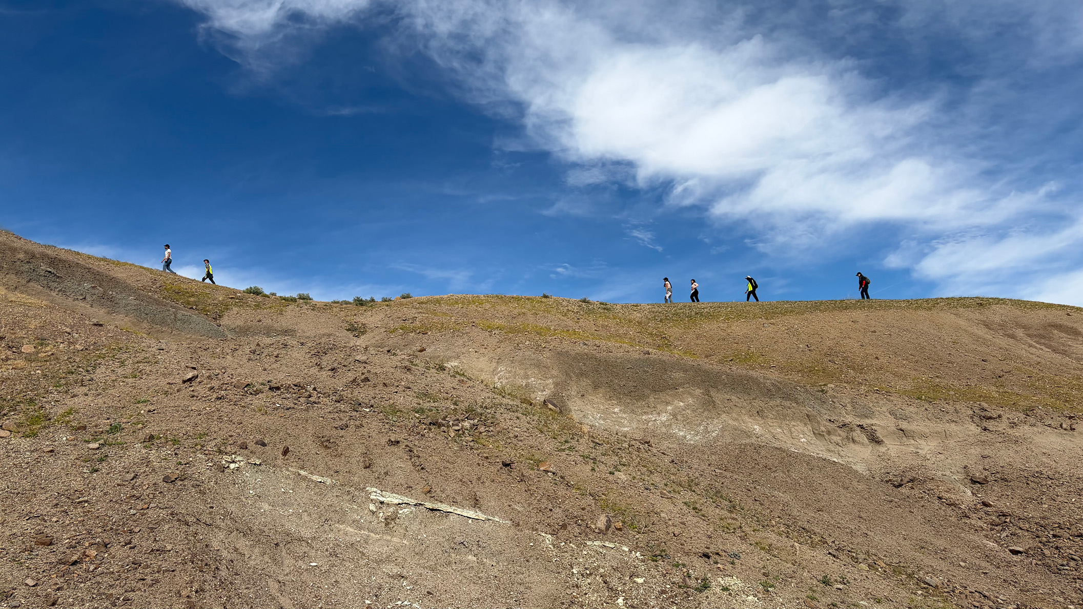
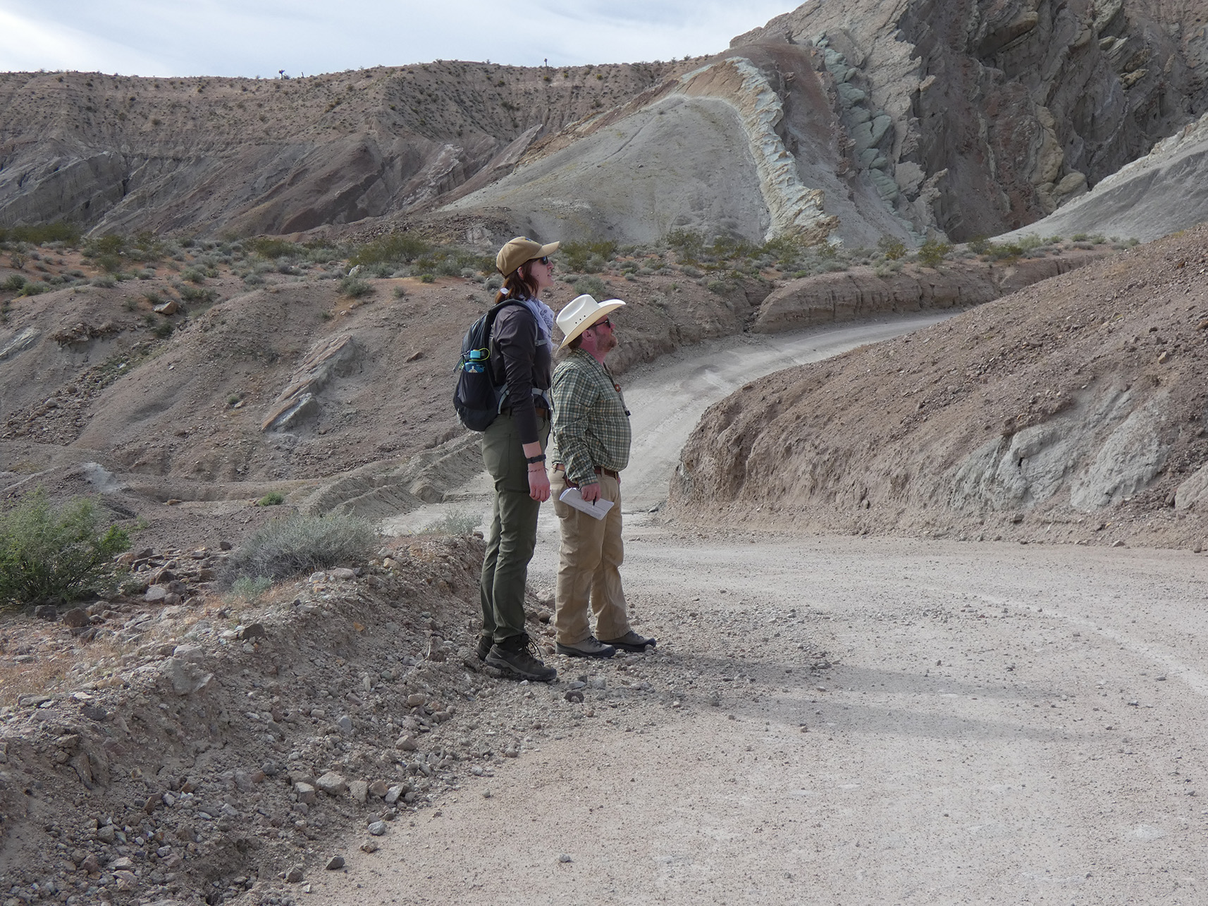
There are few folded rocks that are as beautiful and straightforward to access as the ones at Rainbow Basin. It is an ideal location for students to visualize fold geometry and make structural measurements.
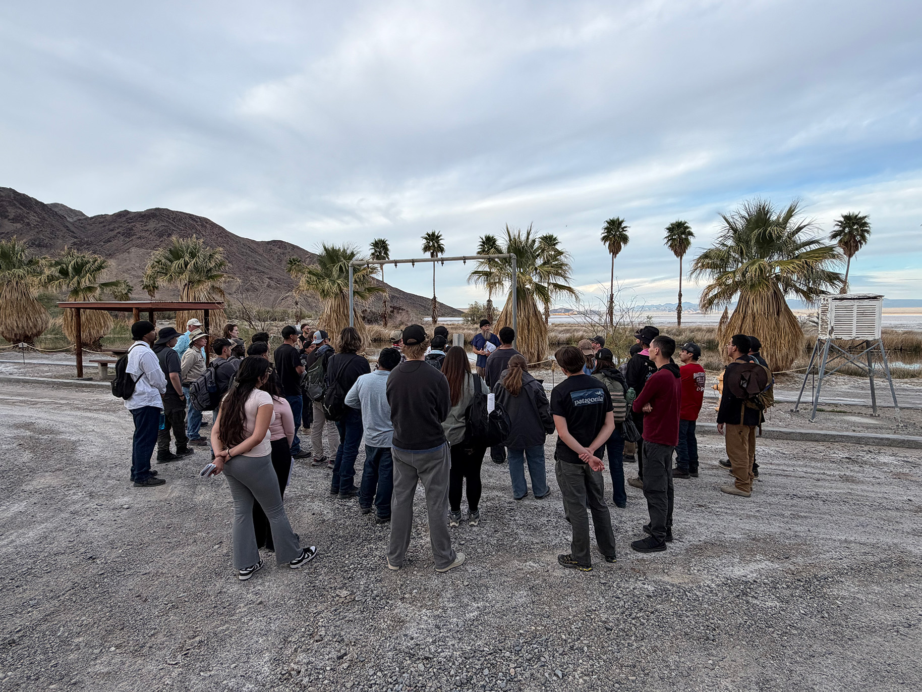
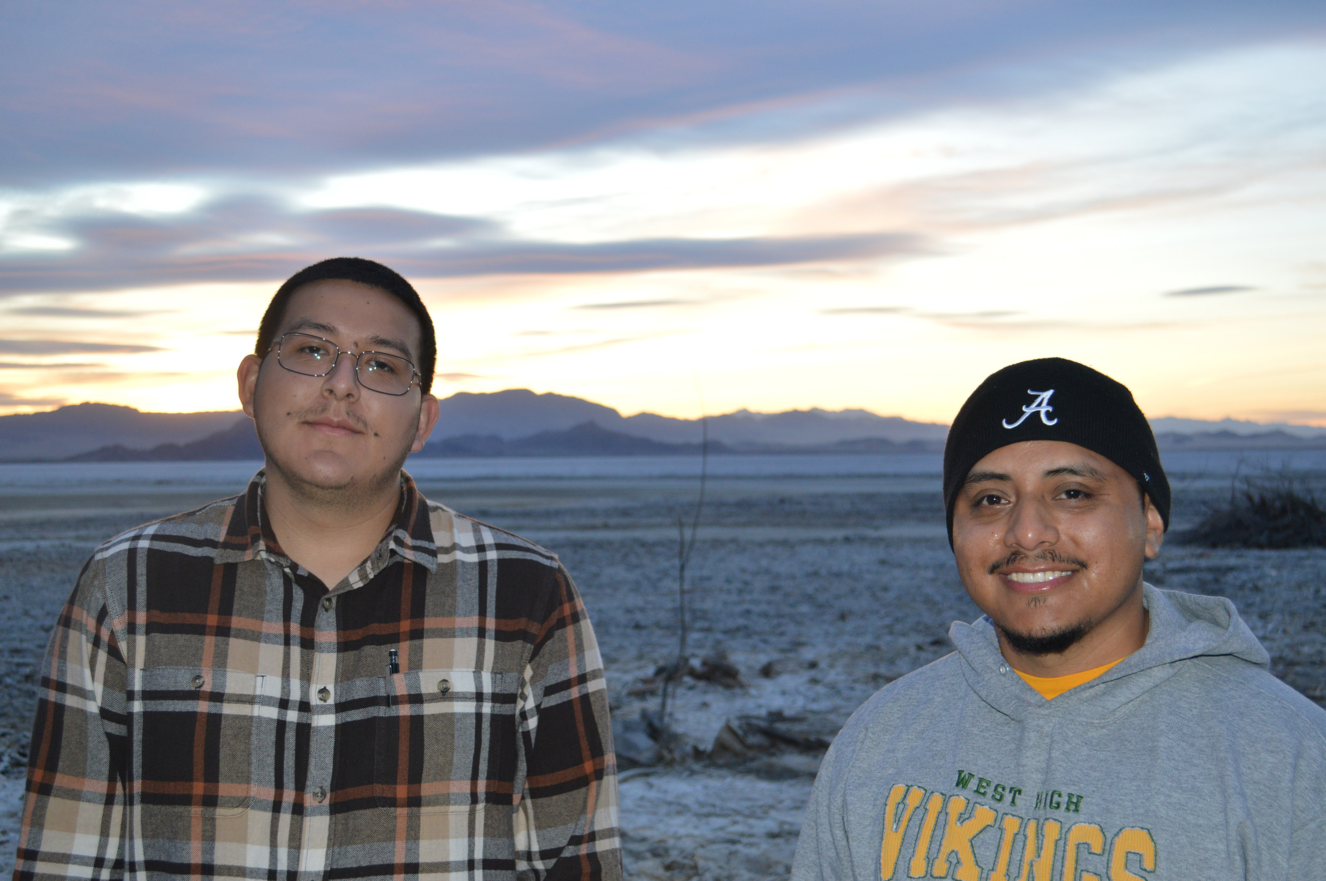
Zzyzx Desert Studies Center
After a long day in the hot sun thinking about geology, the Zzyzx Desert Studies Center is a great place to decompress. Situated on Soda Lake outside of Baker, CA, the DSC is a field station with amenities for a group and a killer view.
Saturday, March 14
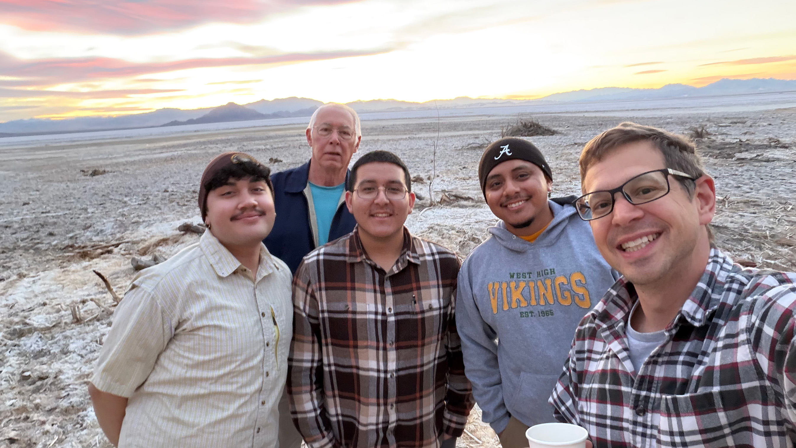
Zzyzx Desert Studies Center
Saturday morning saw a beautiful sunrise over Soda Lake around 7:00 am. Several trip members woke up early to catch the scenic view.
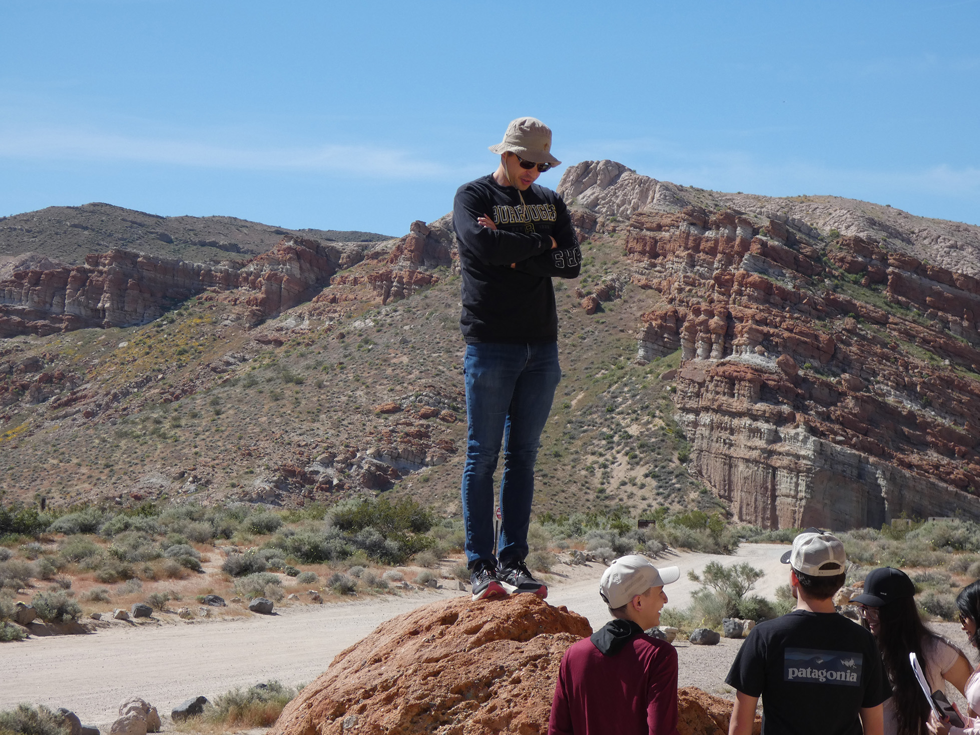
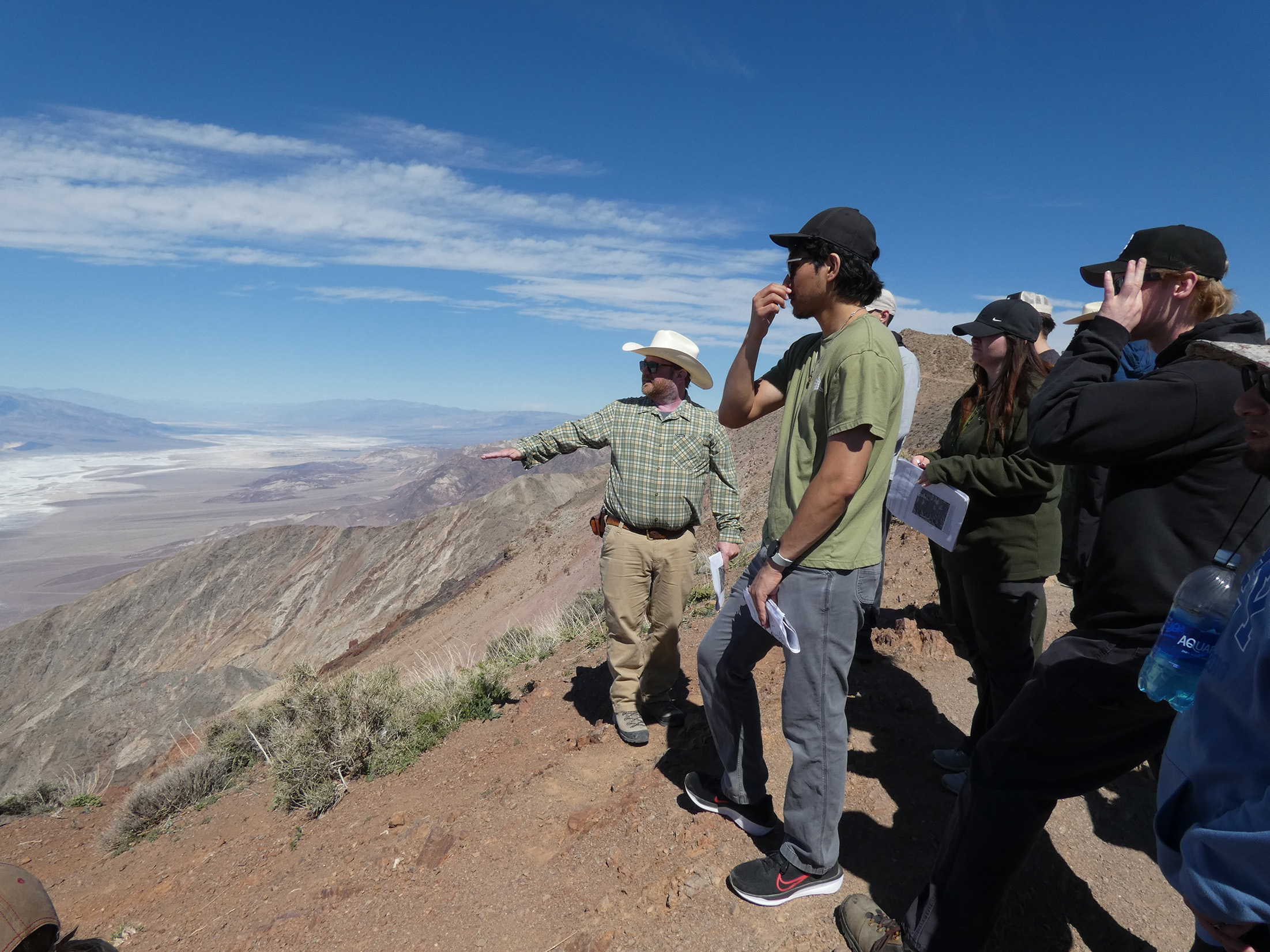
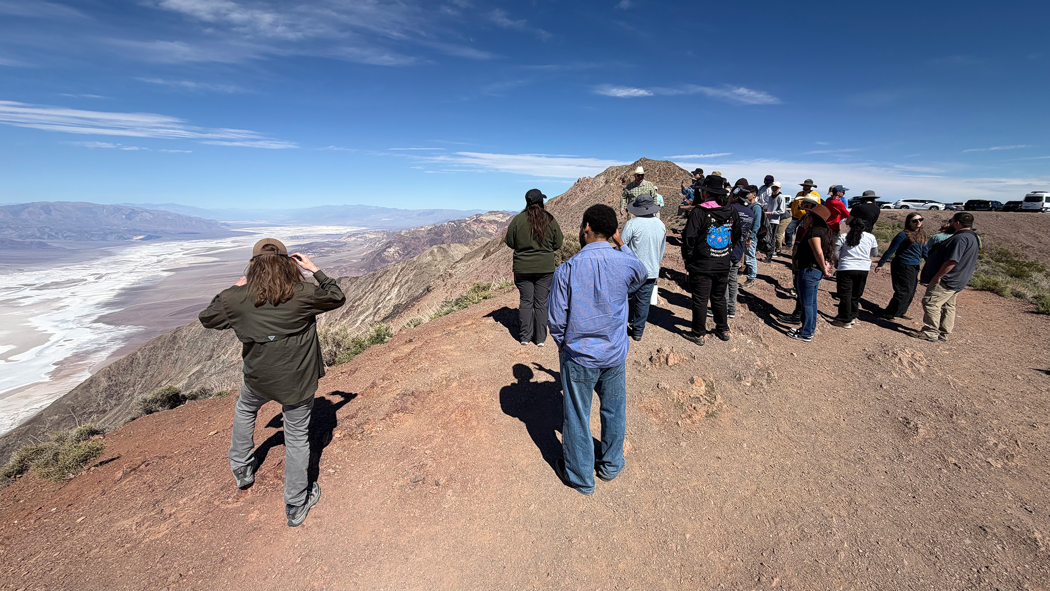
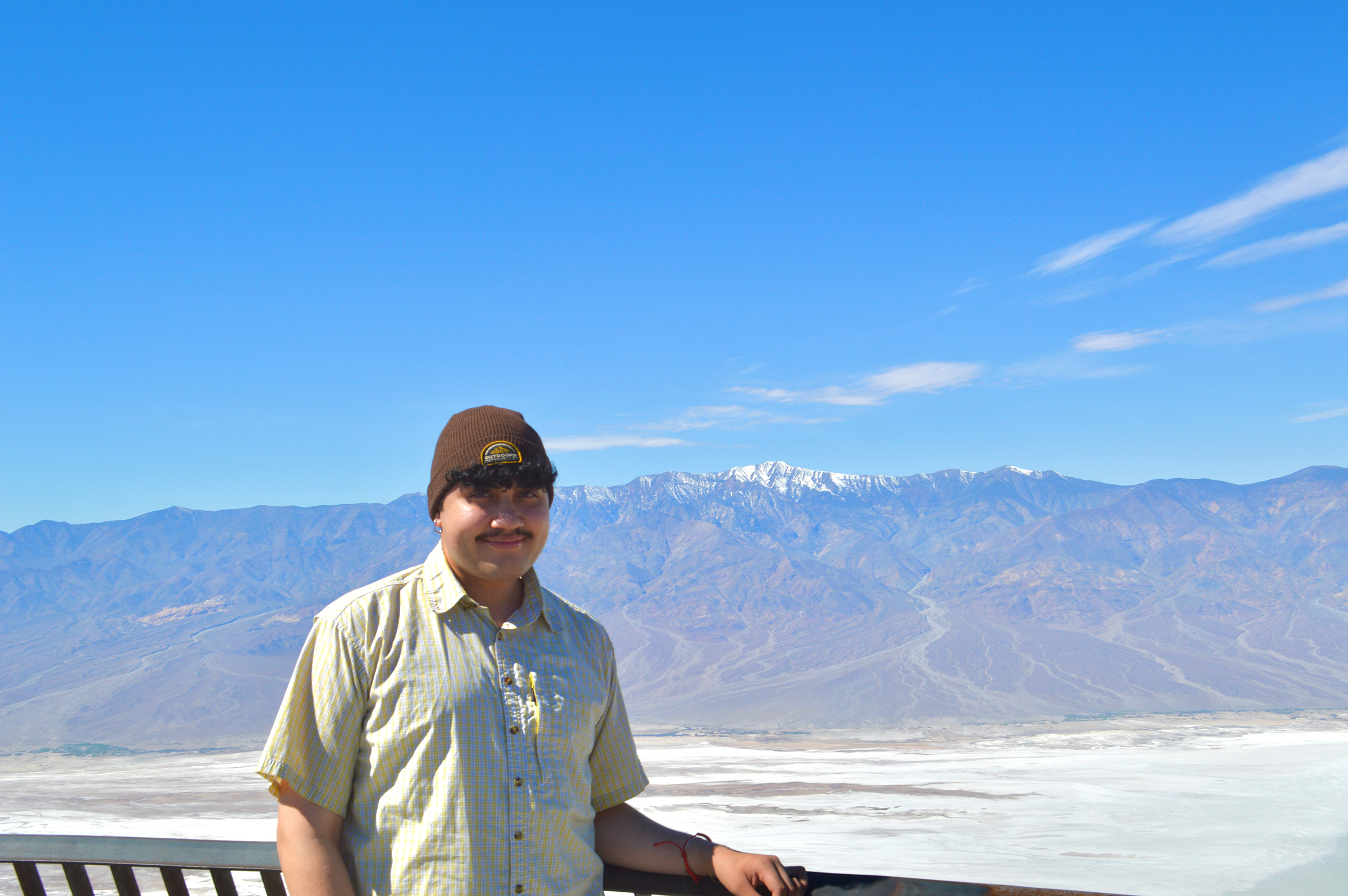
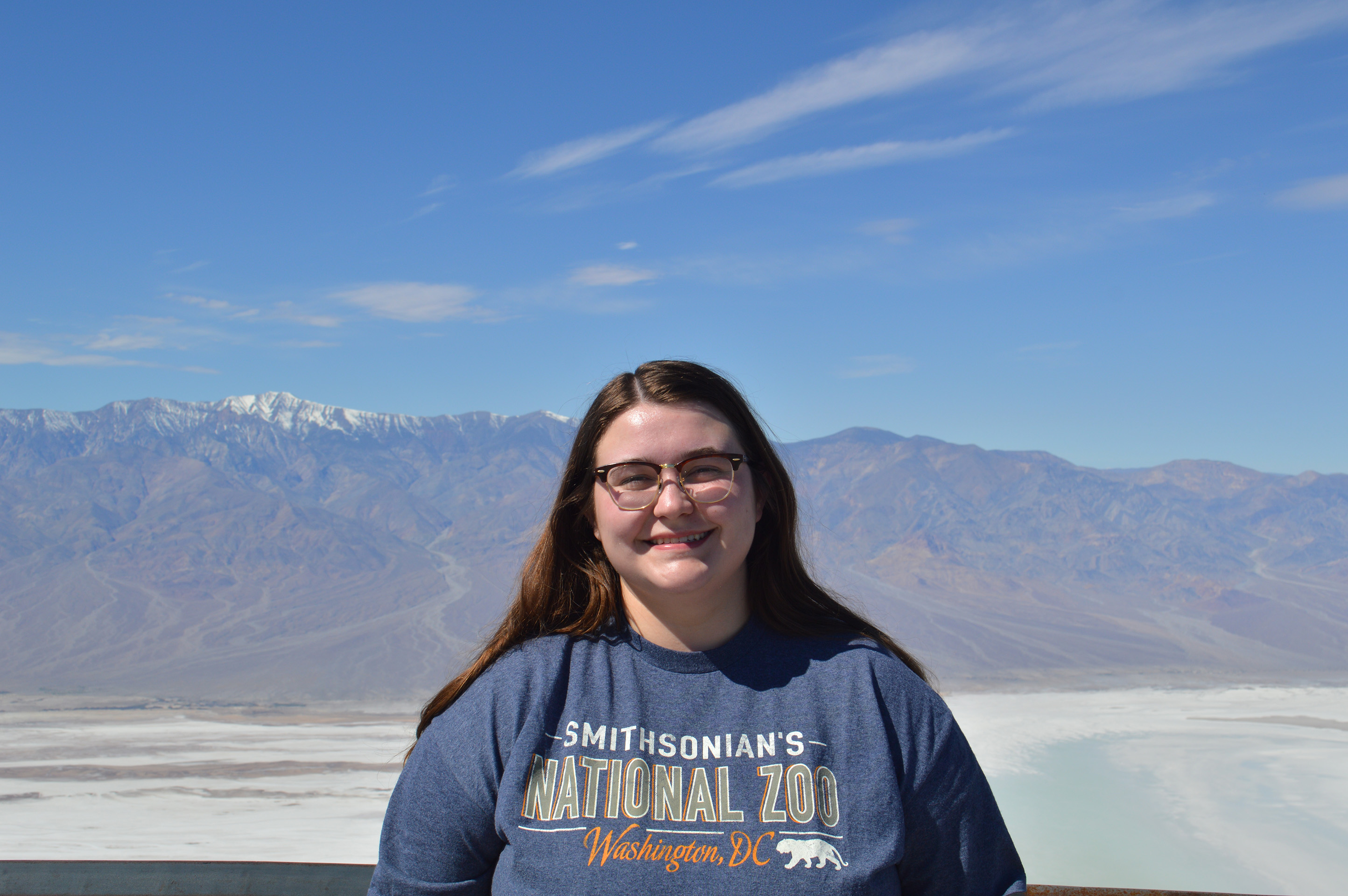
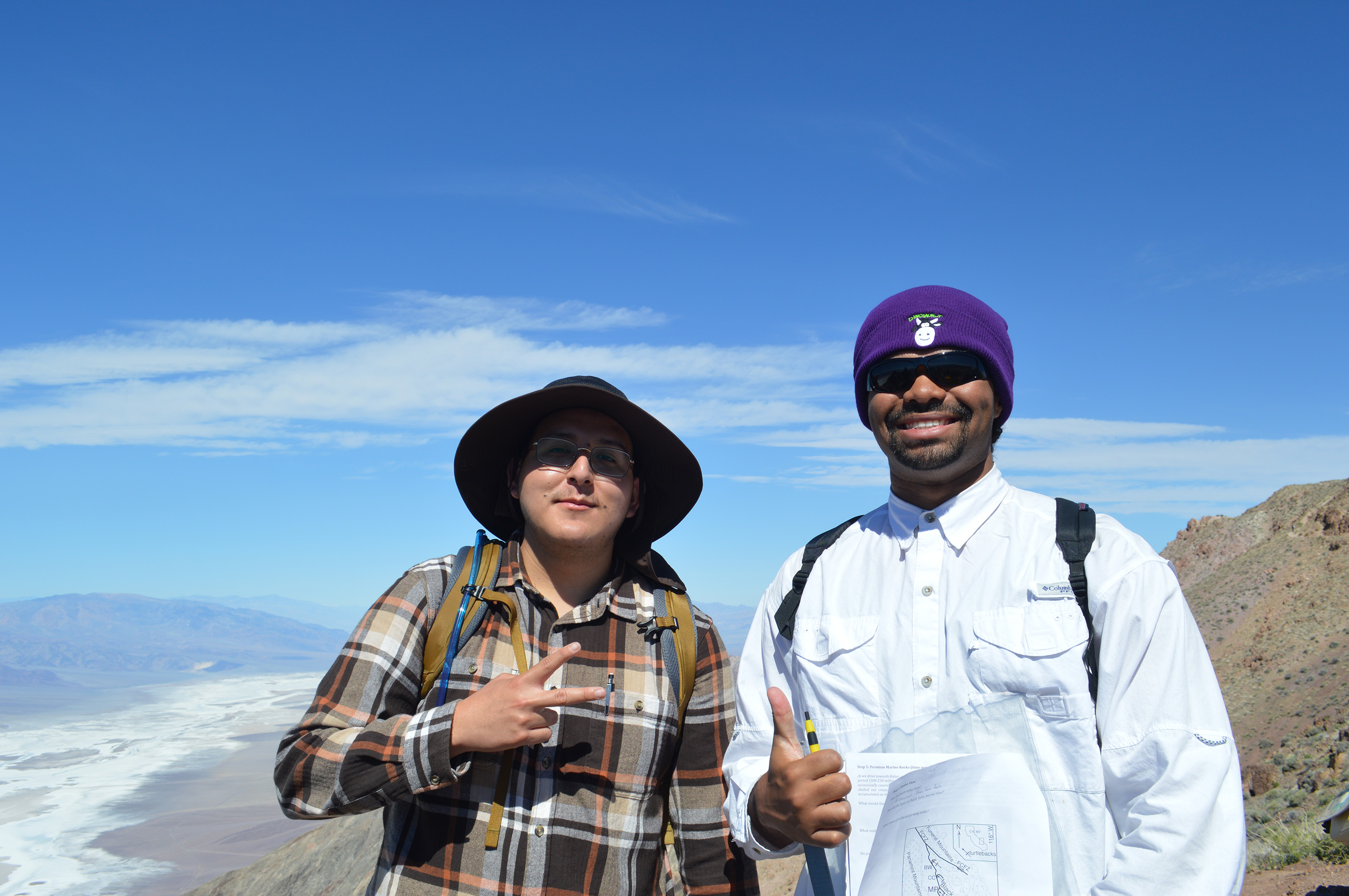
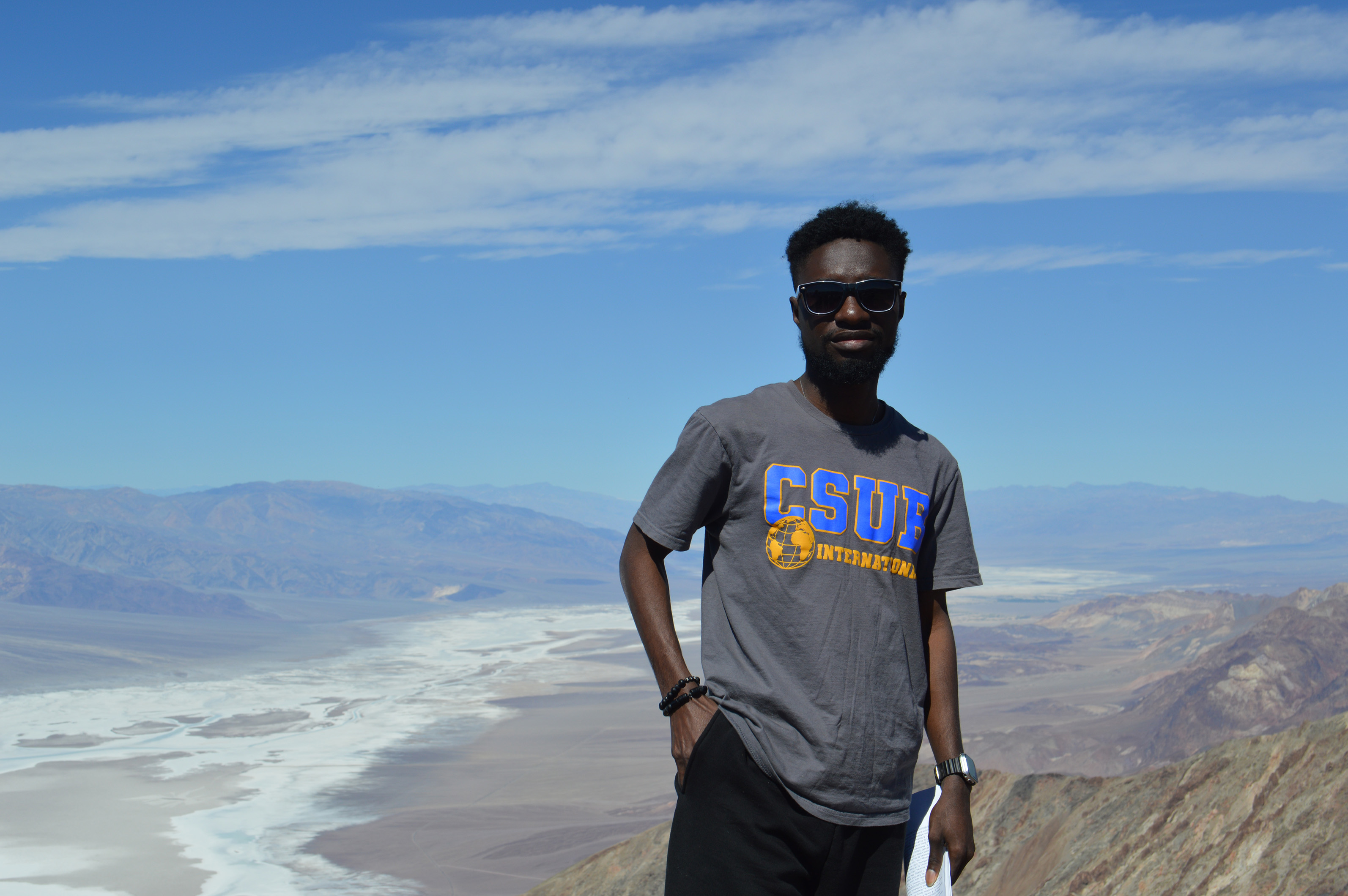
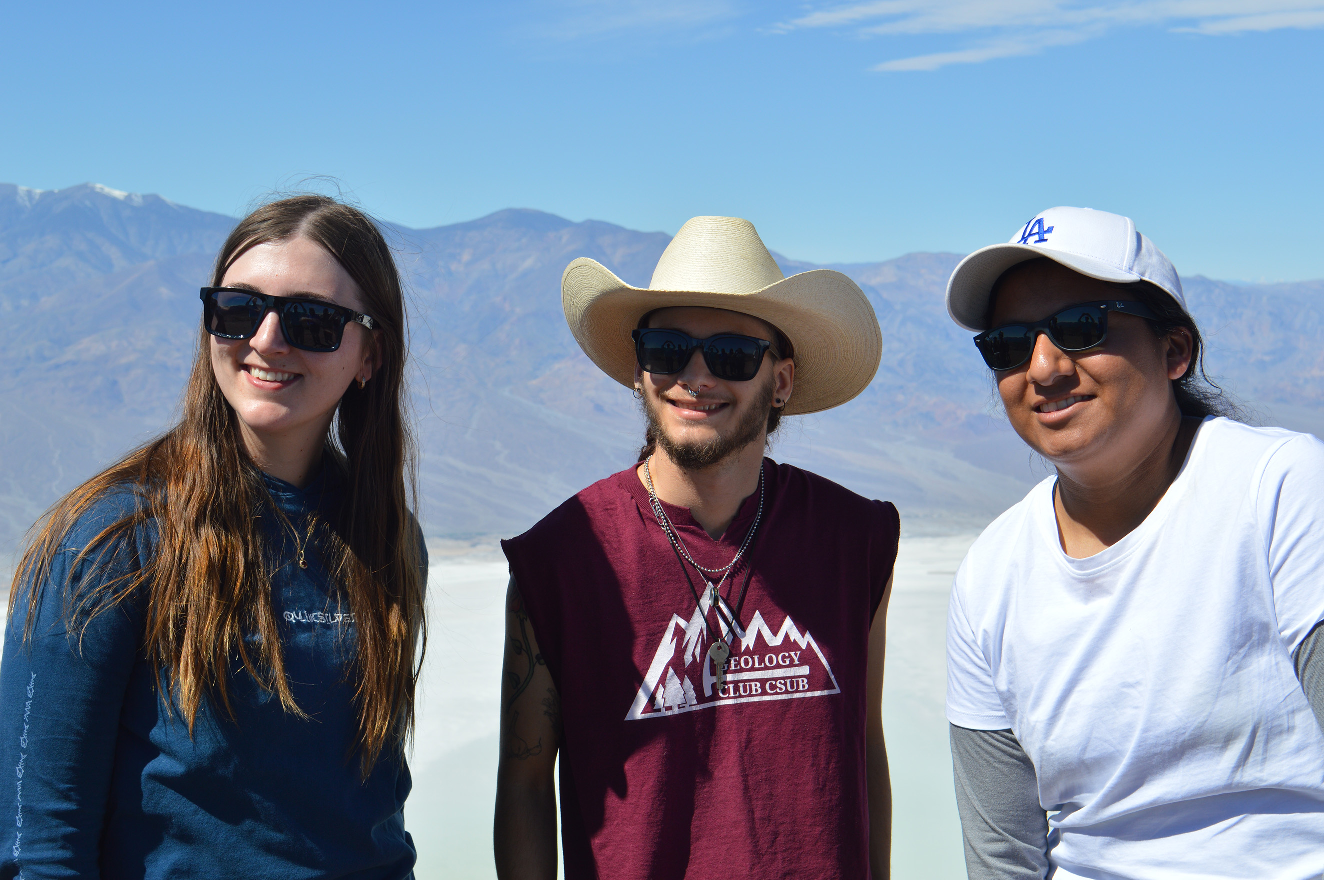
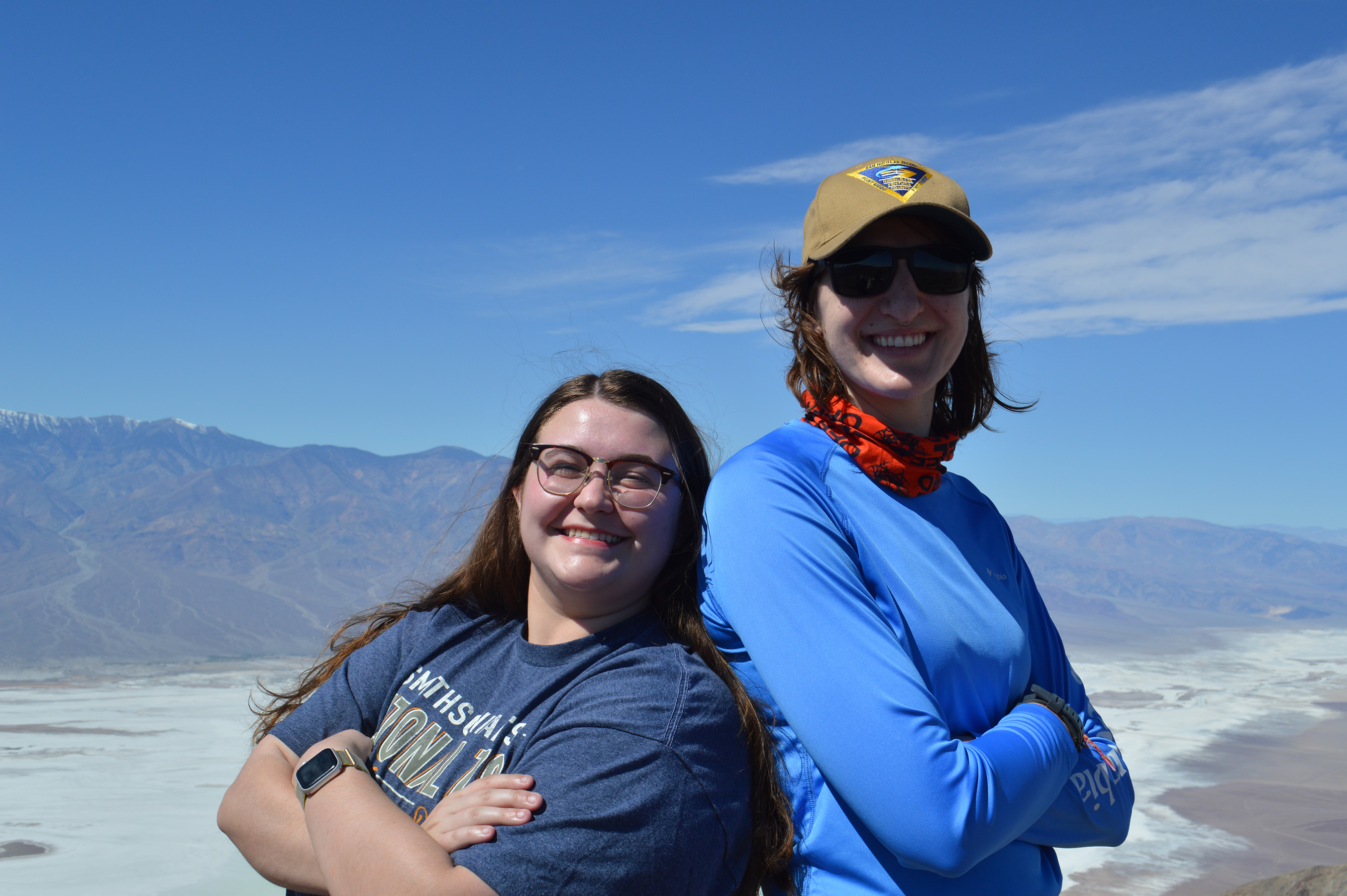
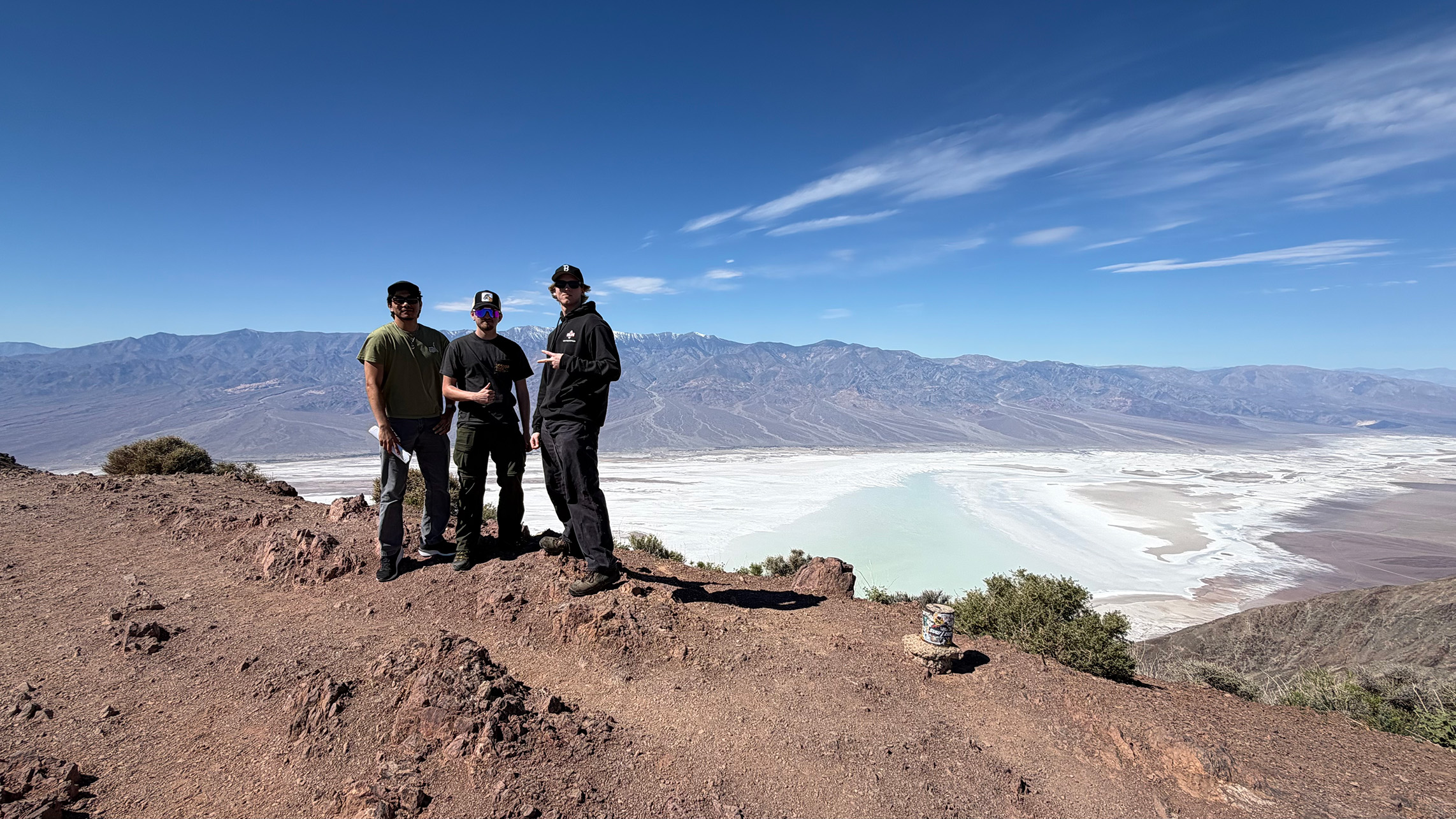
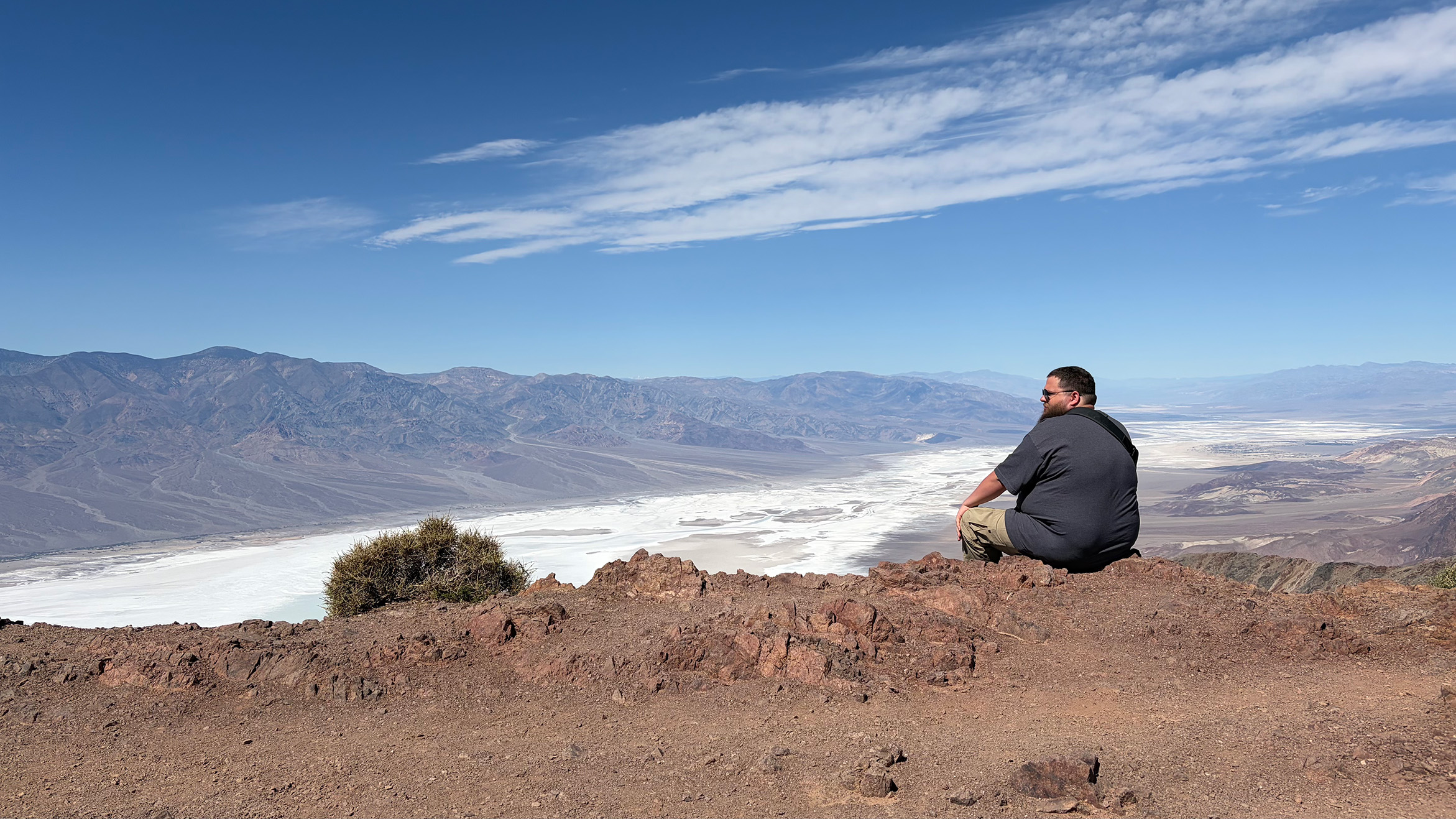
Death Valley - Dante's View
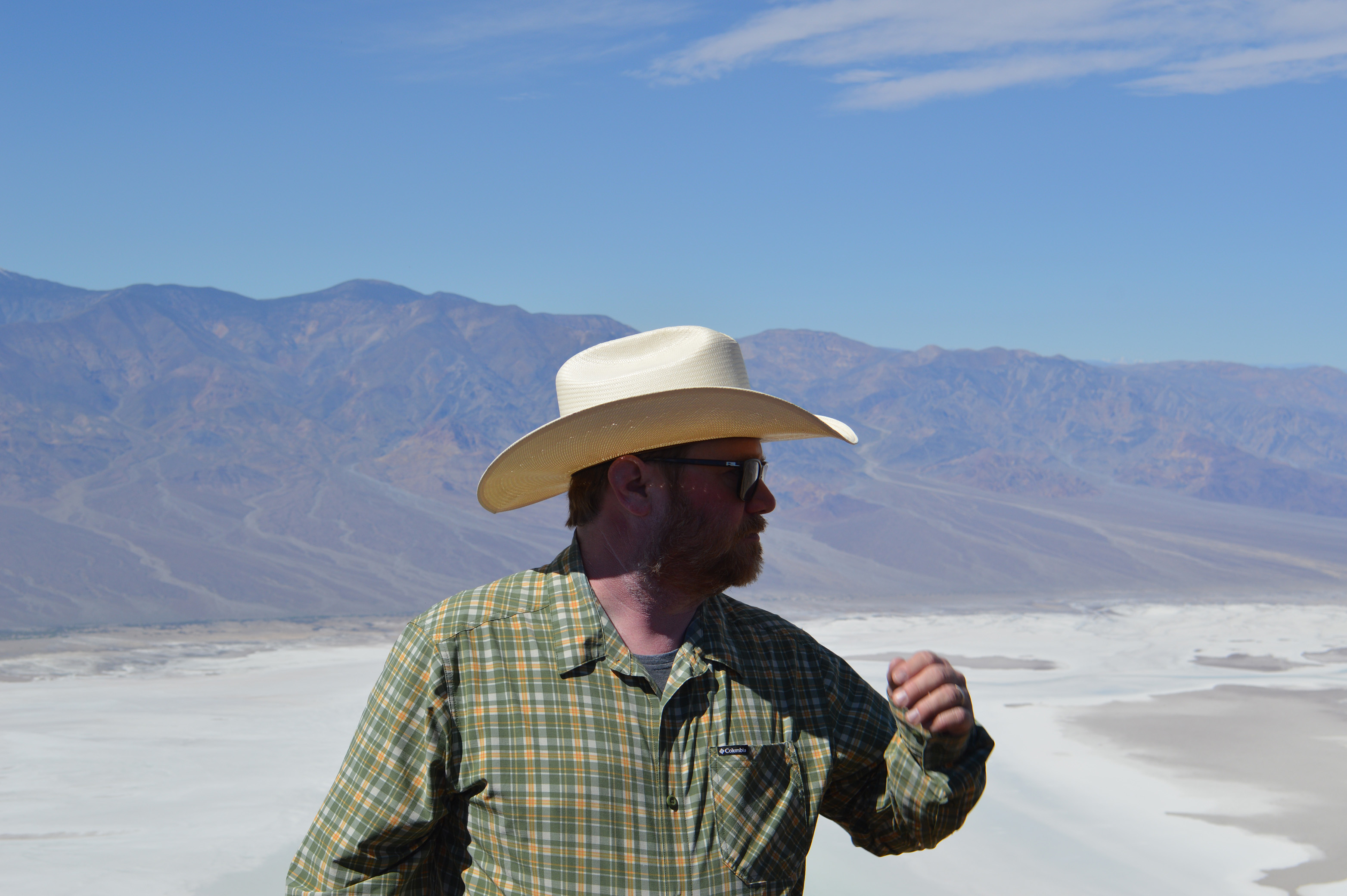
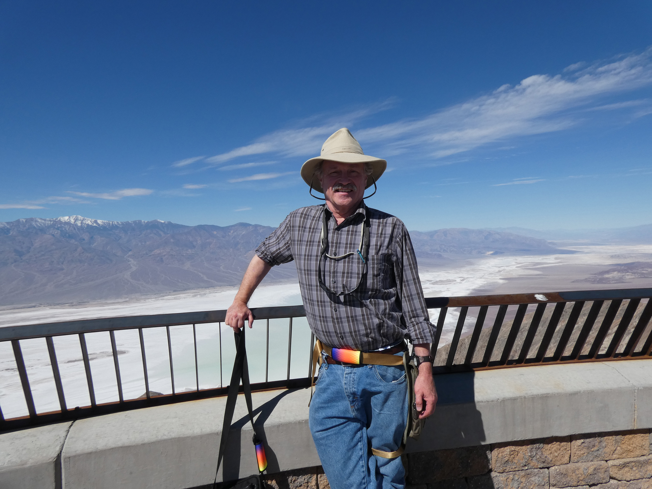
After a few hours in the vans, CSUB Geology stopped at Dante's View. This outlook sits a mile above sea level and looks straight down into Badwater Basin 200 feet below sea level. The scale of Death Valley's tectonics is hard to miss from this vantage!
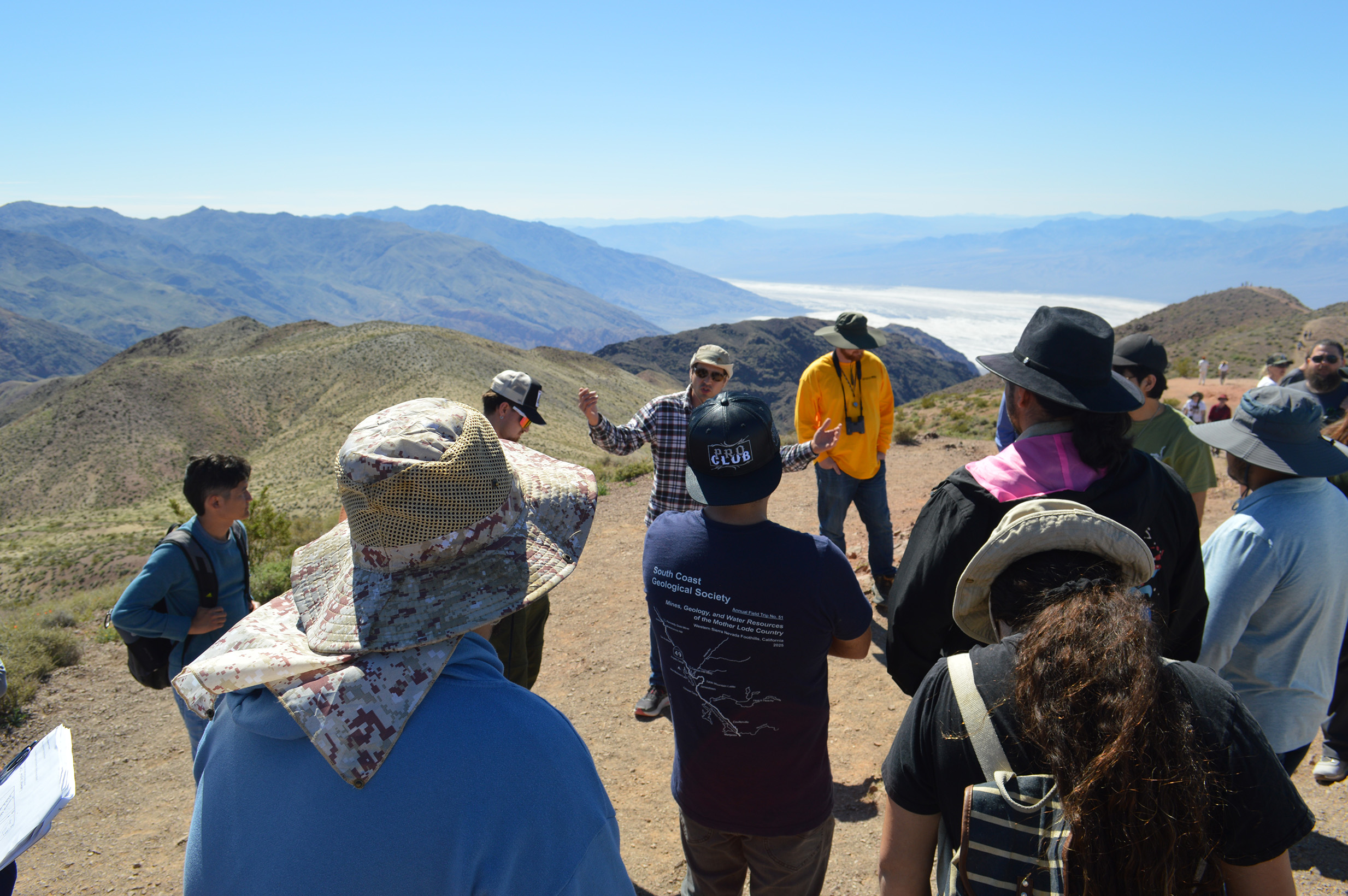
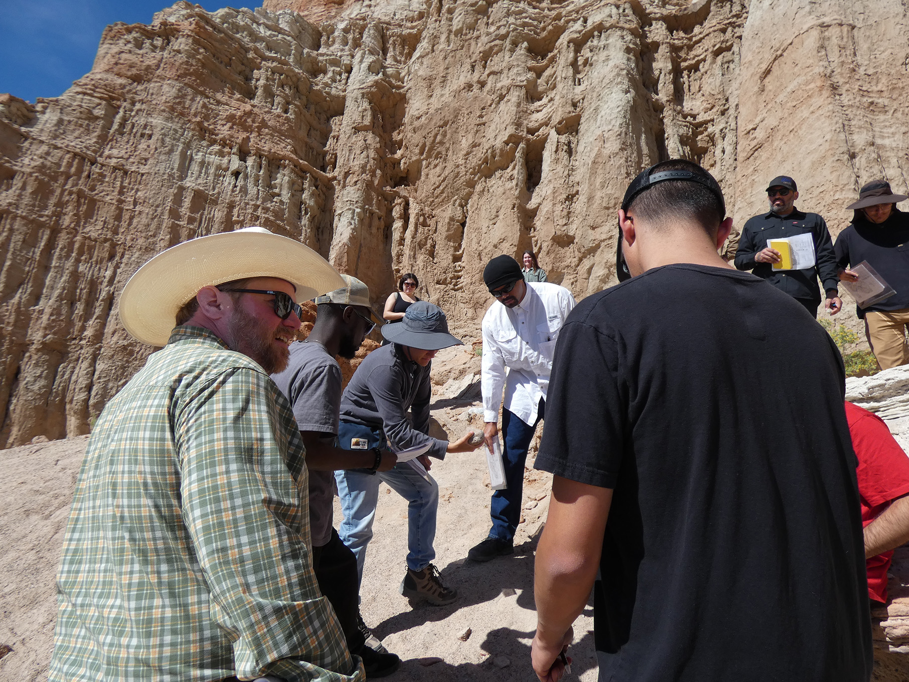
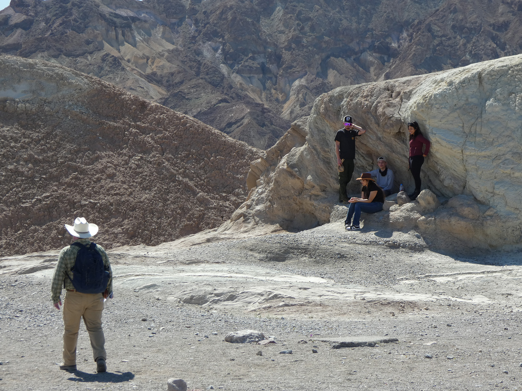
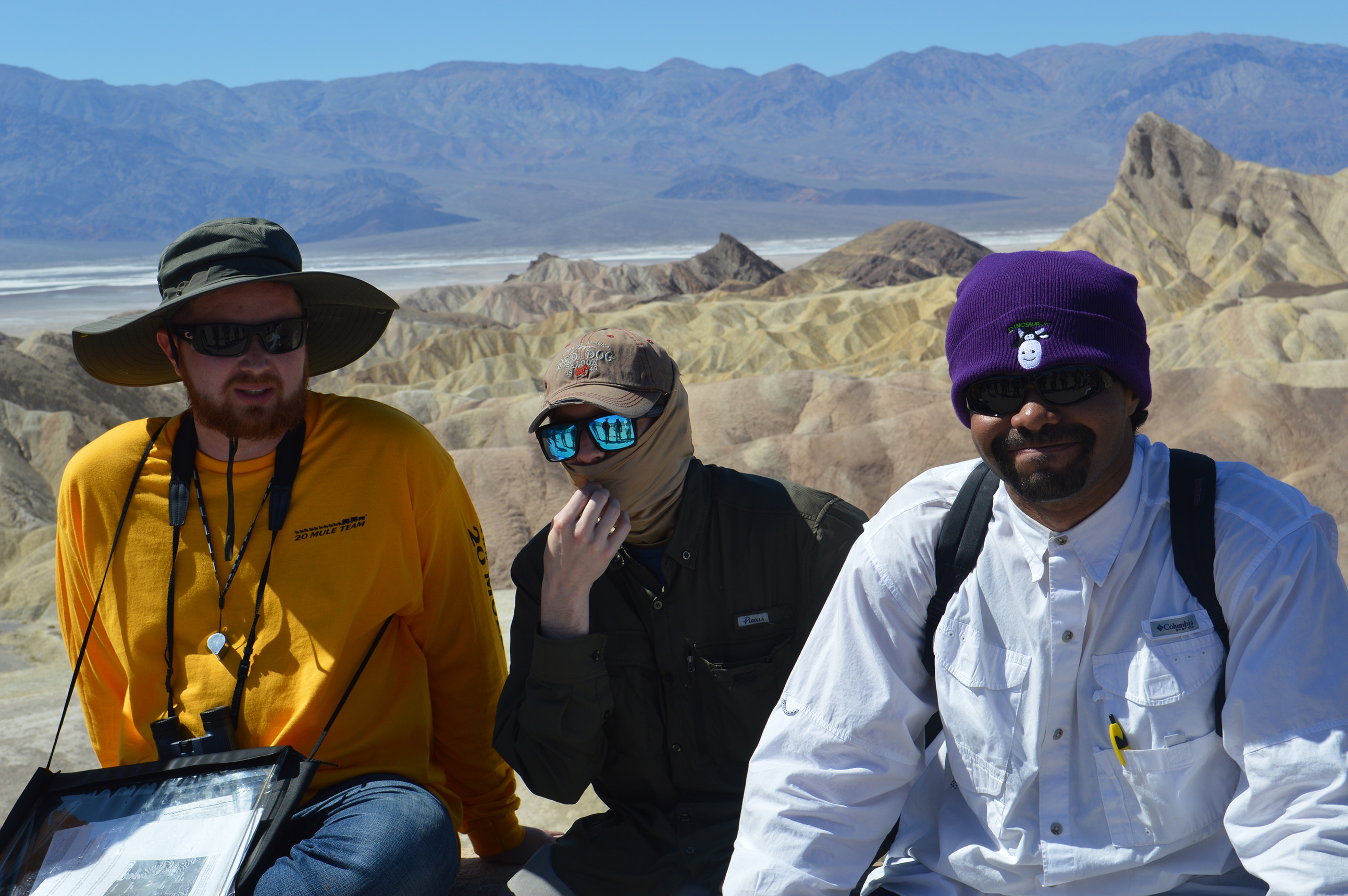
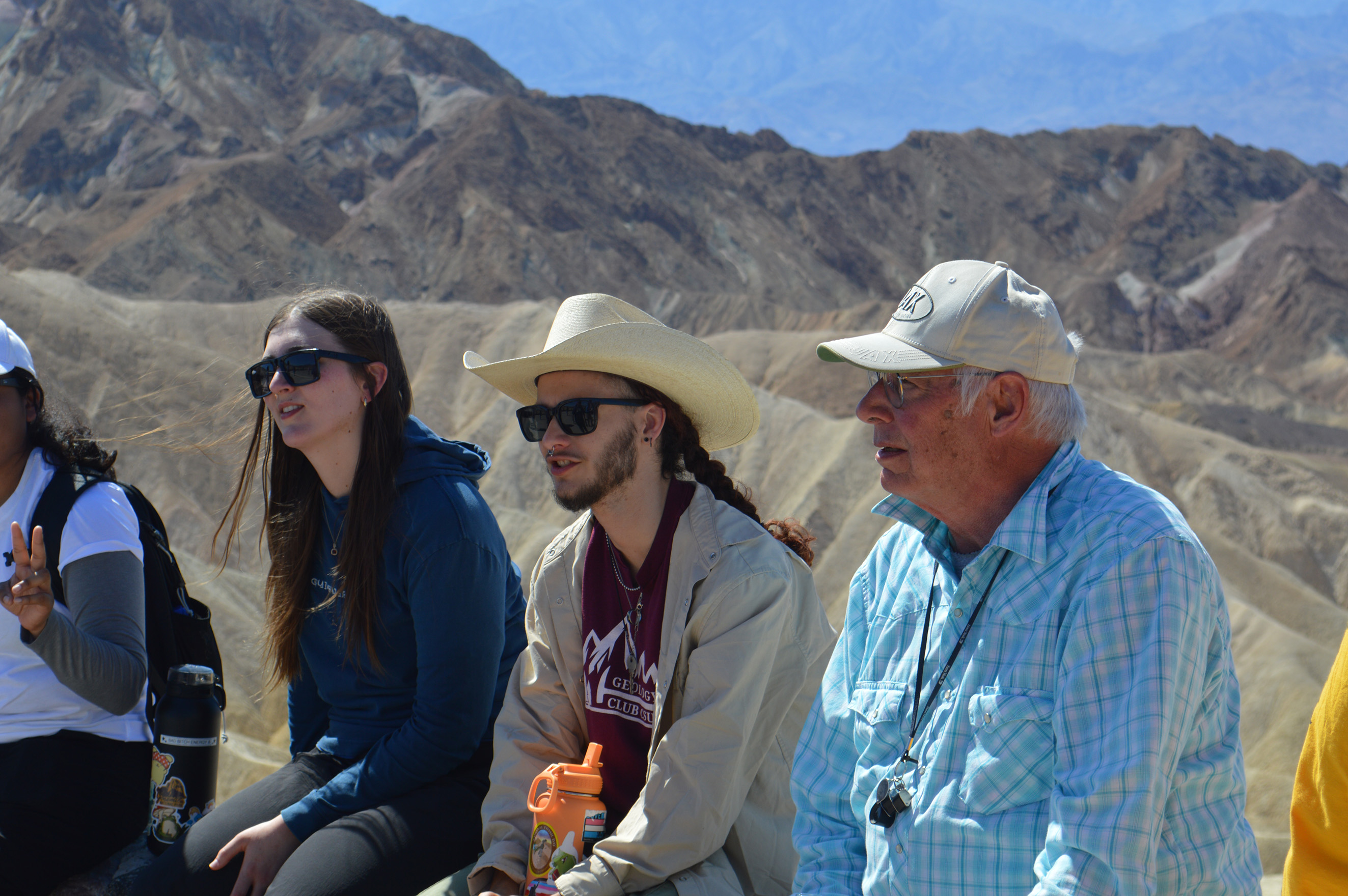
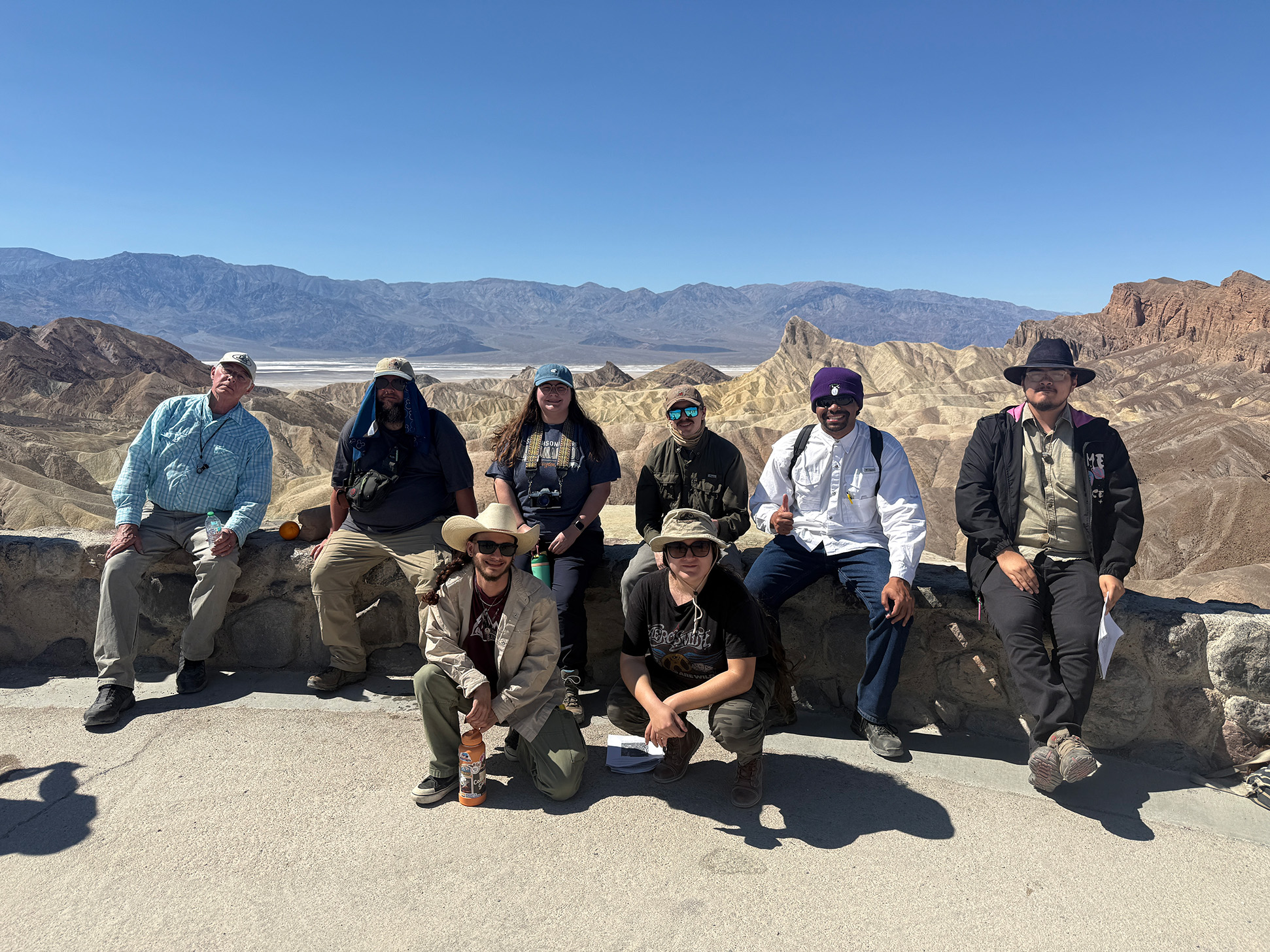
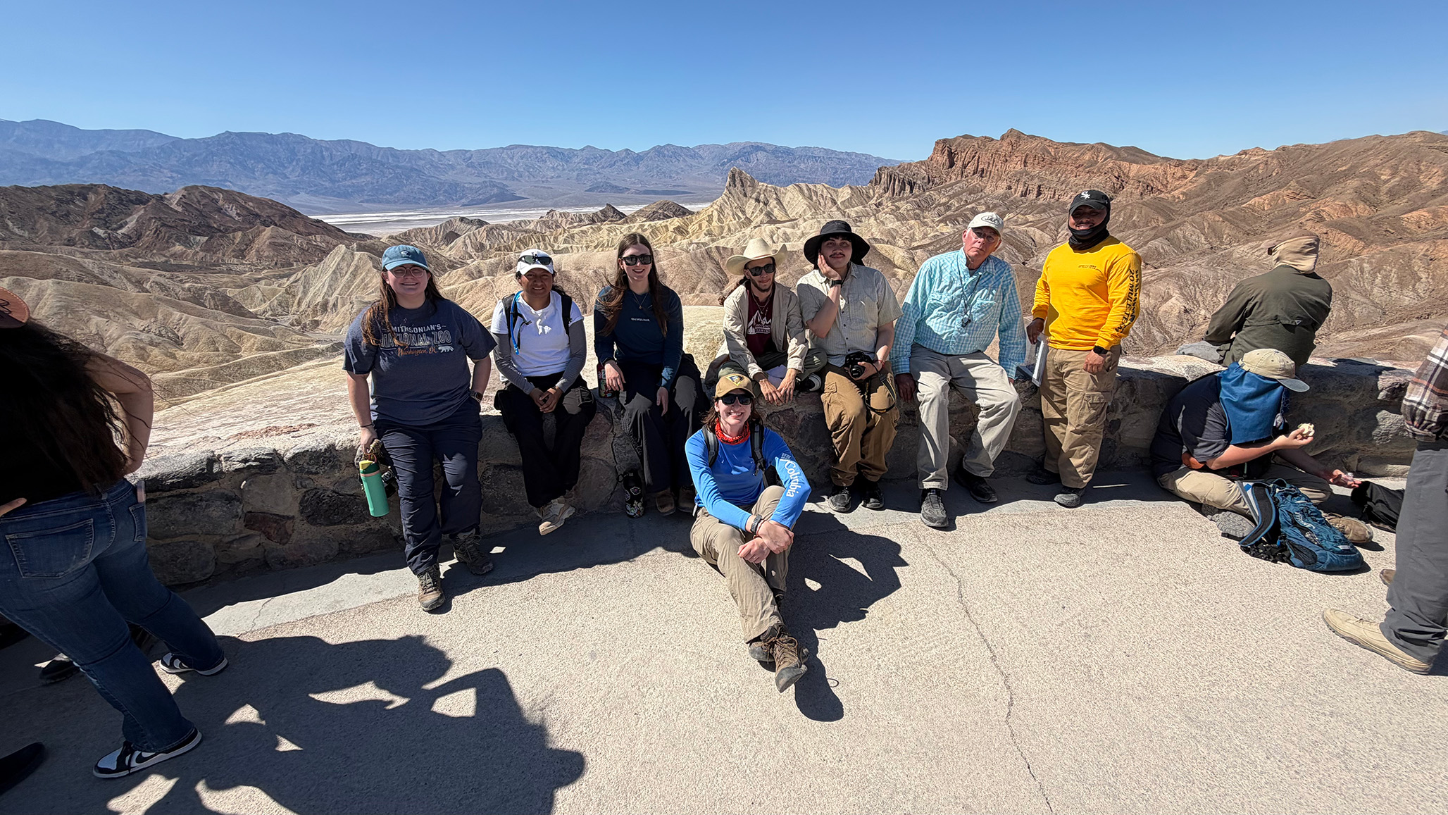
Death Valley - Zabriskie Point
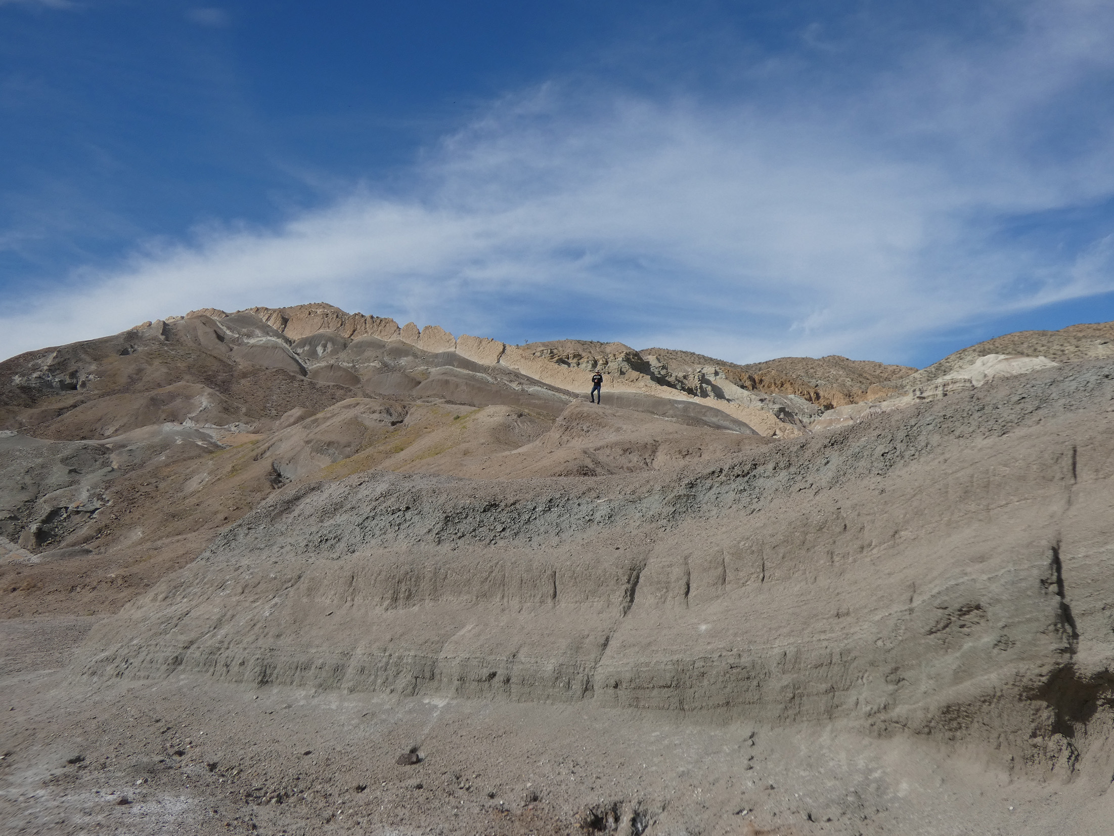
The next stop was Zabriskie Point. This lookout stop shows off the layers of rock that tilted as Death Valley opened up.
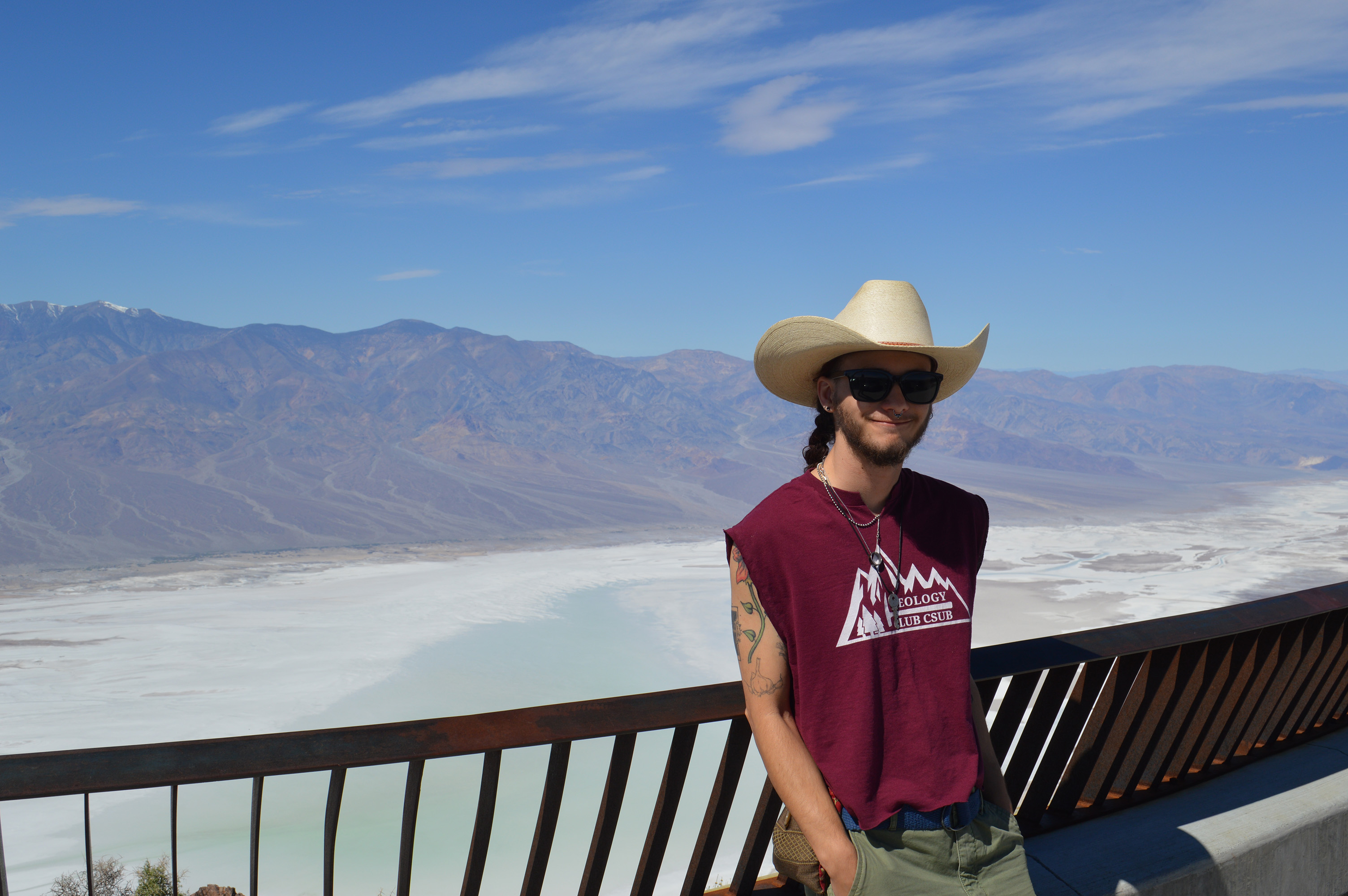
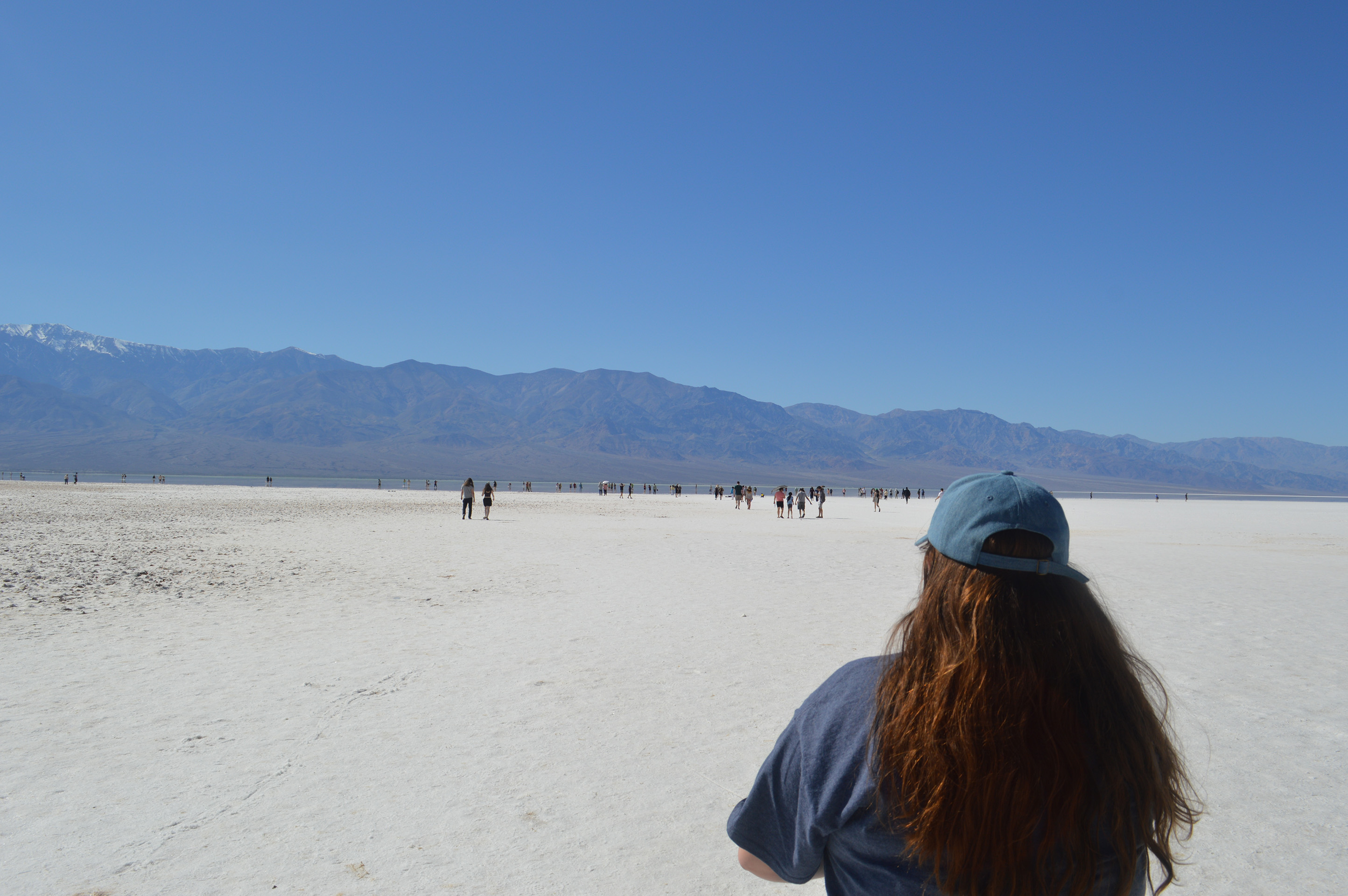
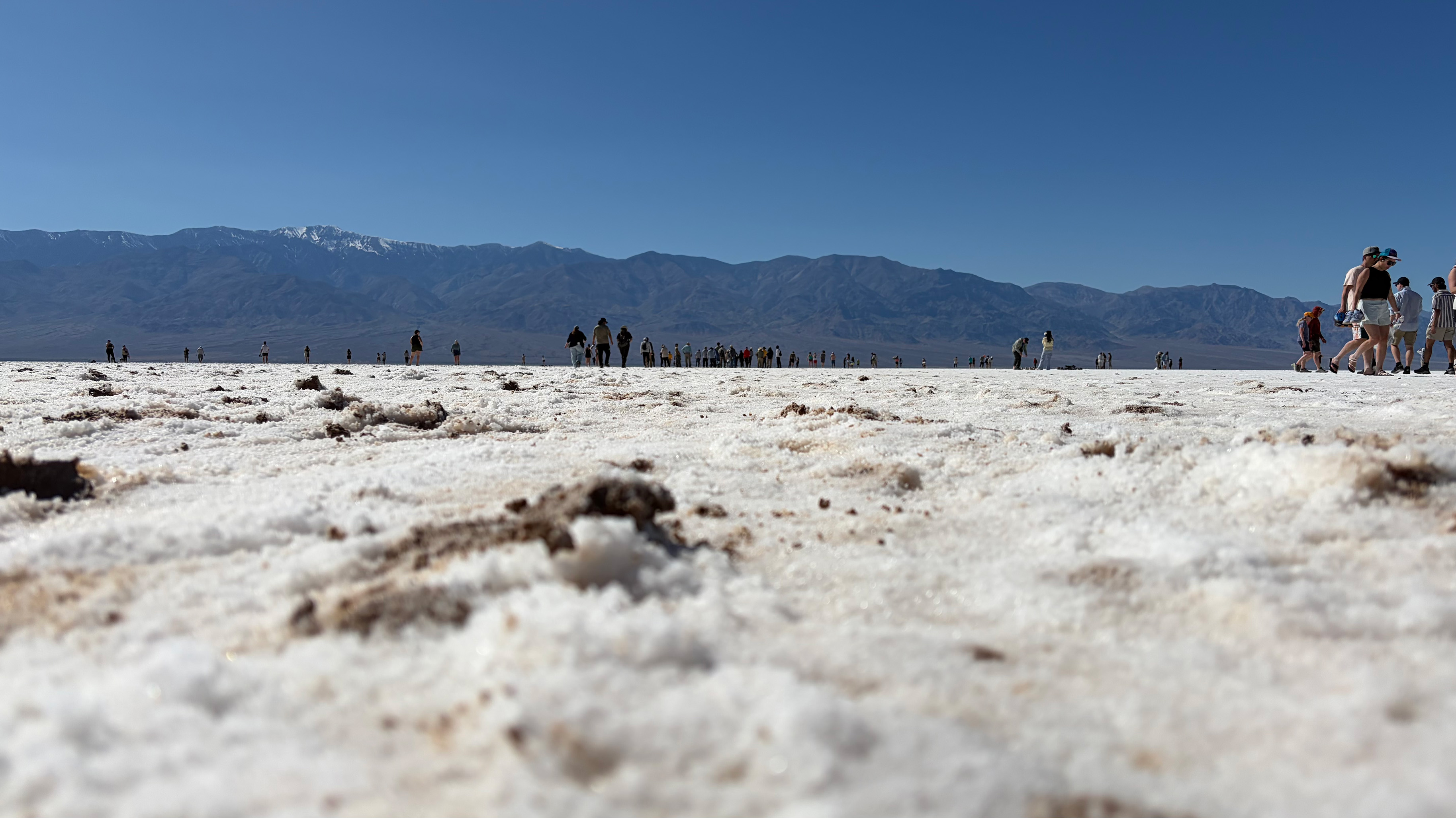
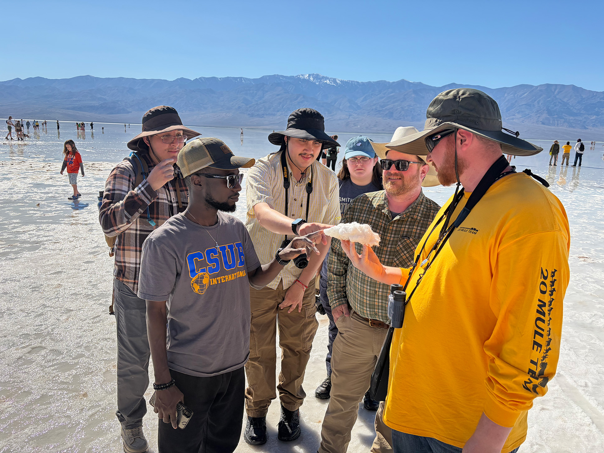
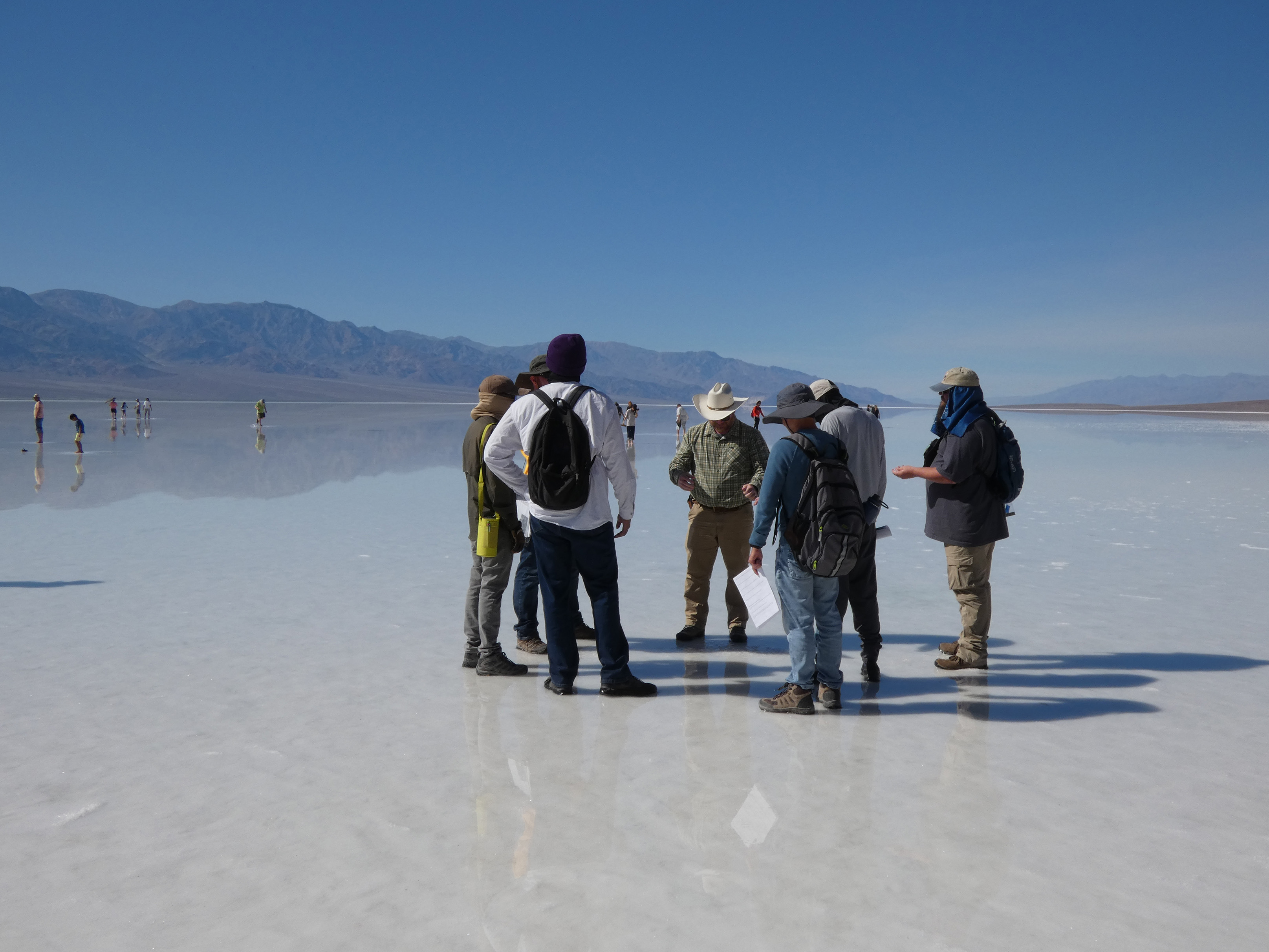
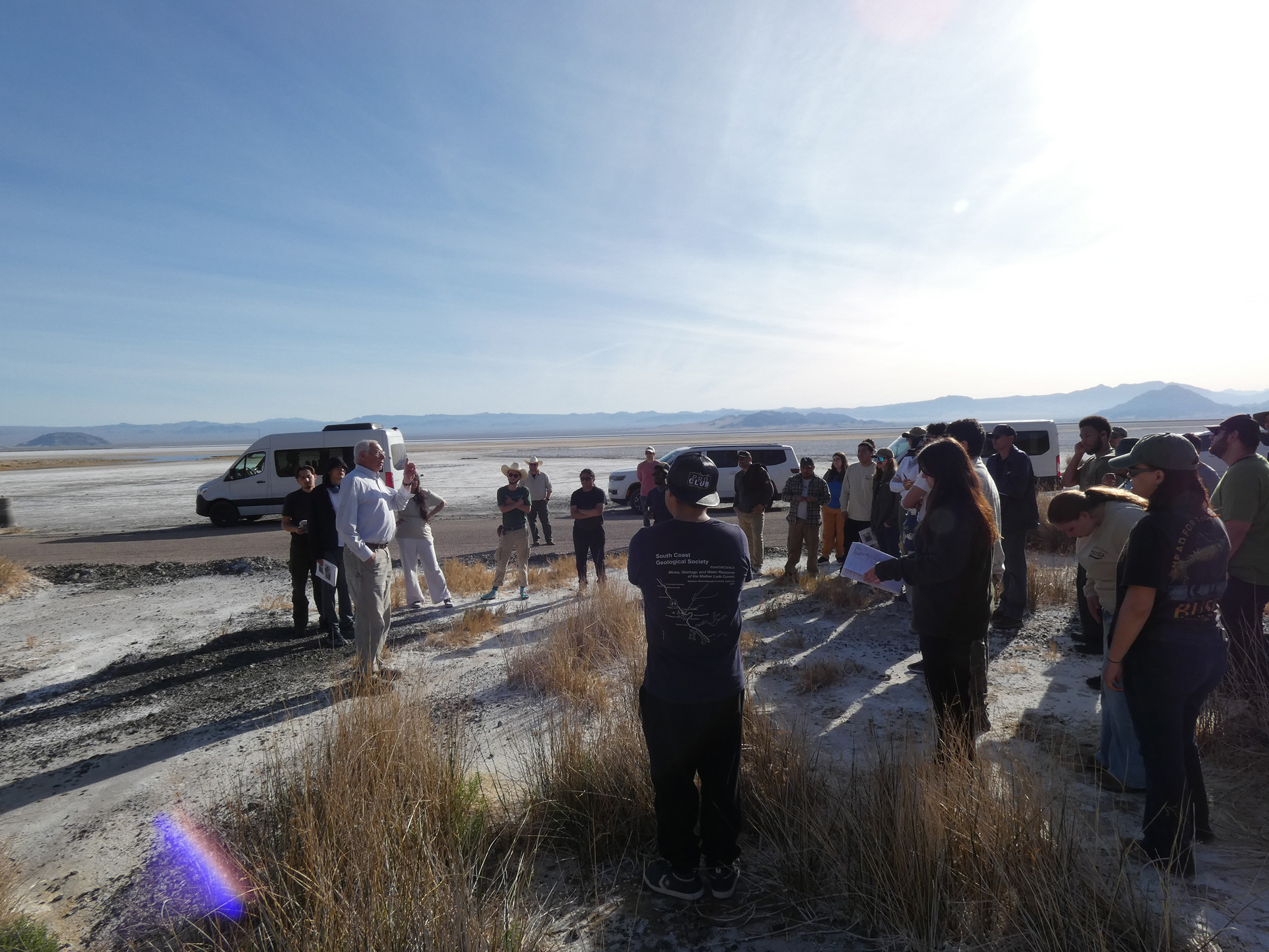
Death Valley - Badwater
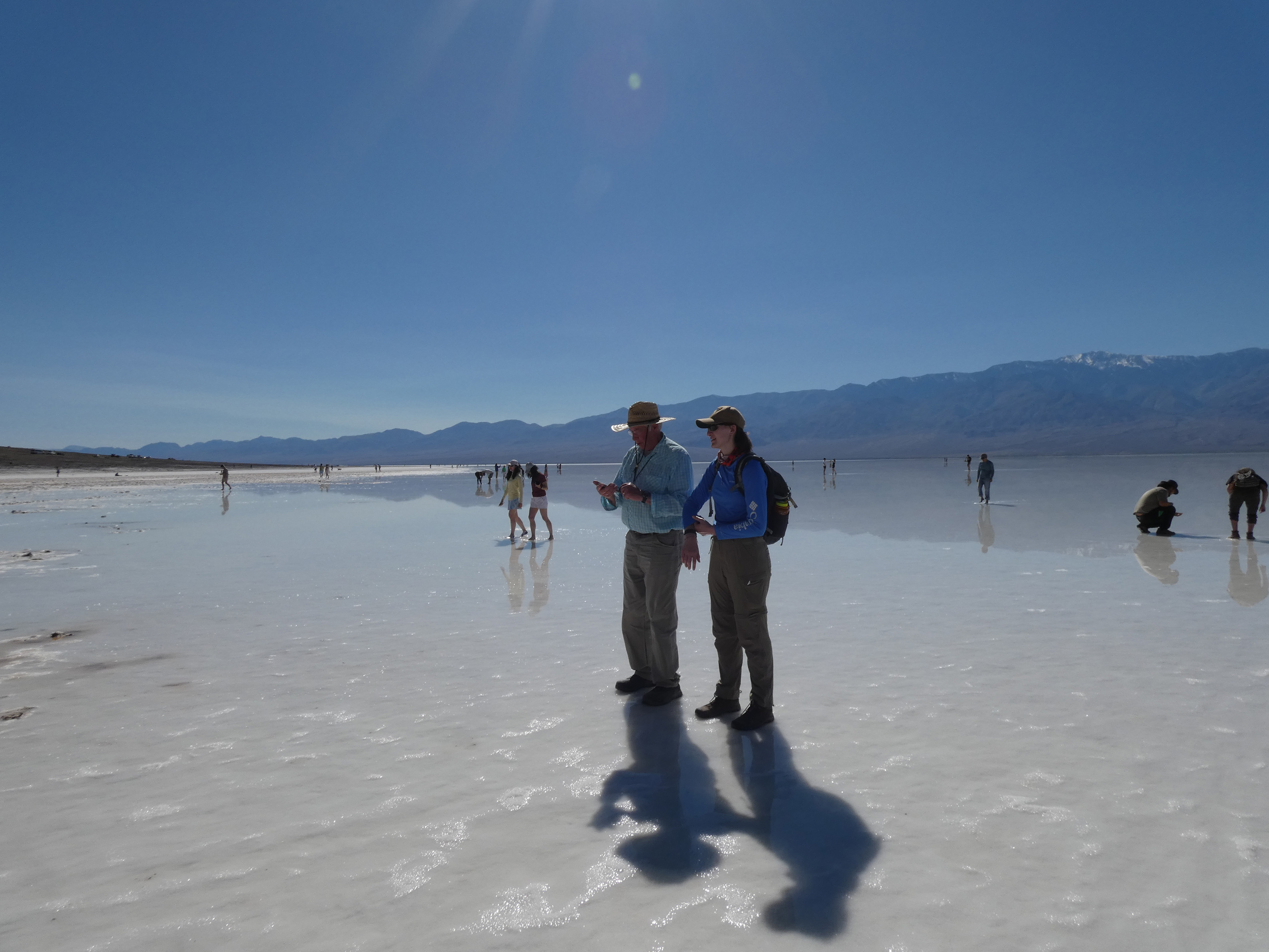
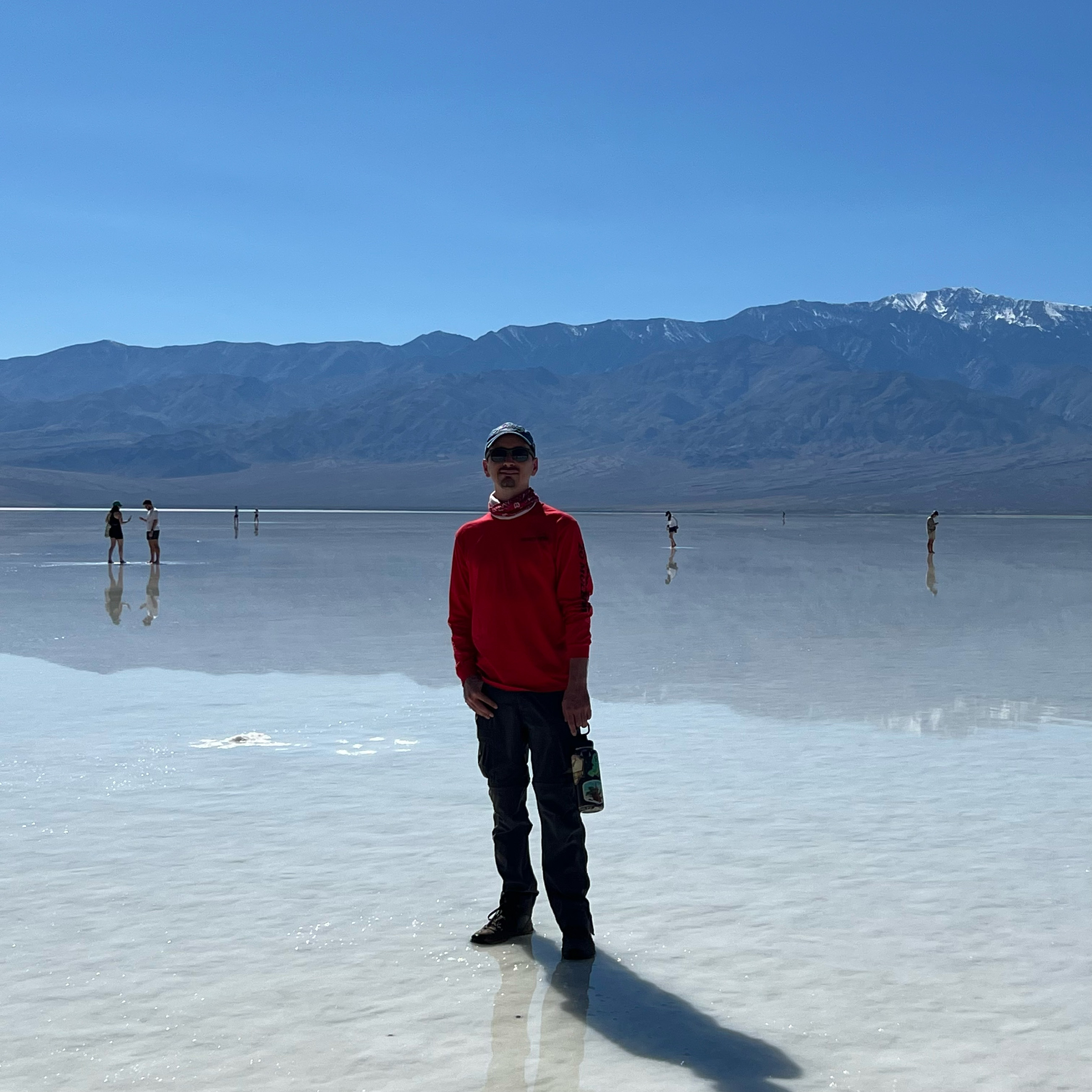
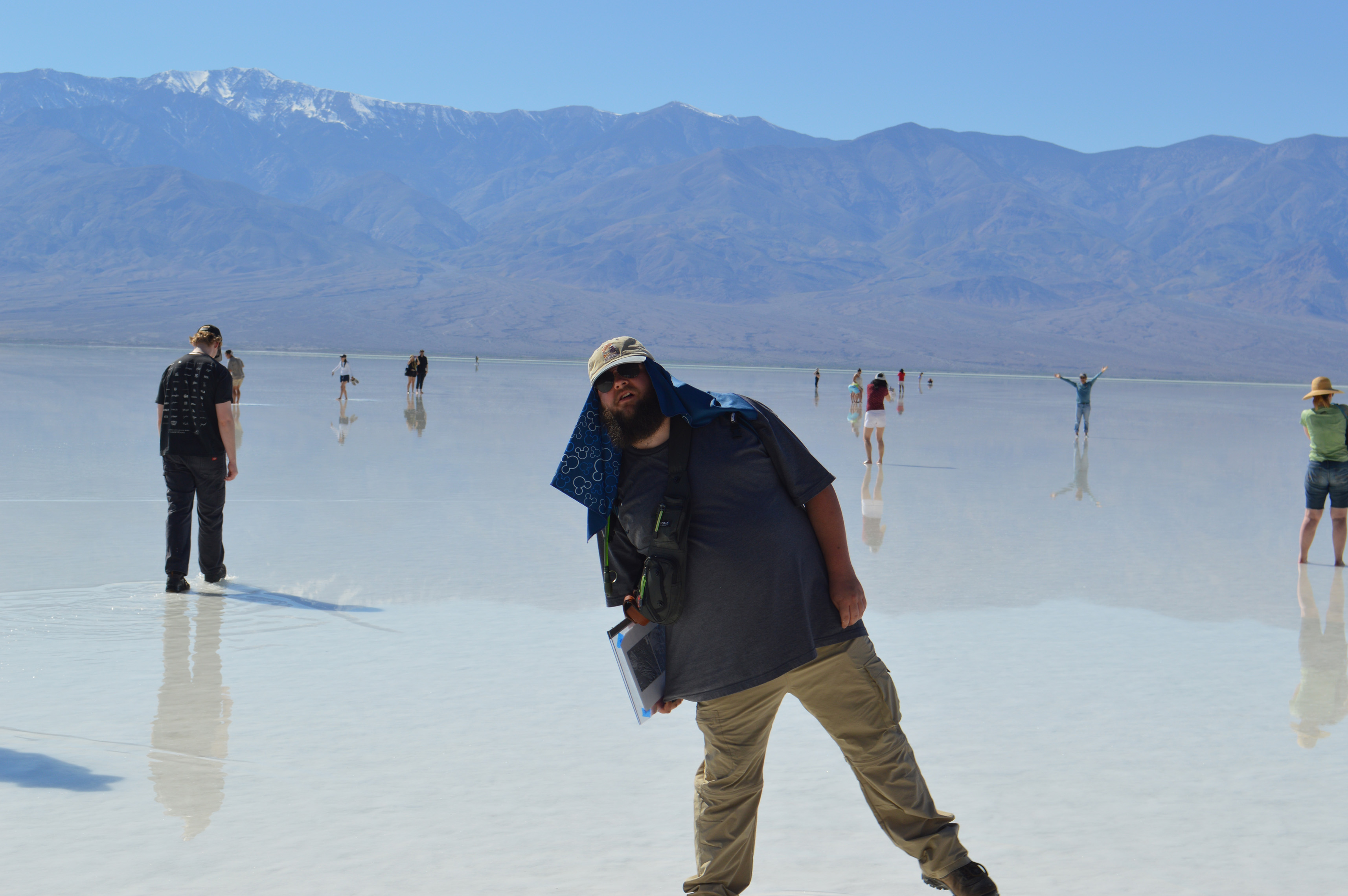
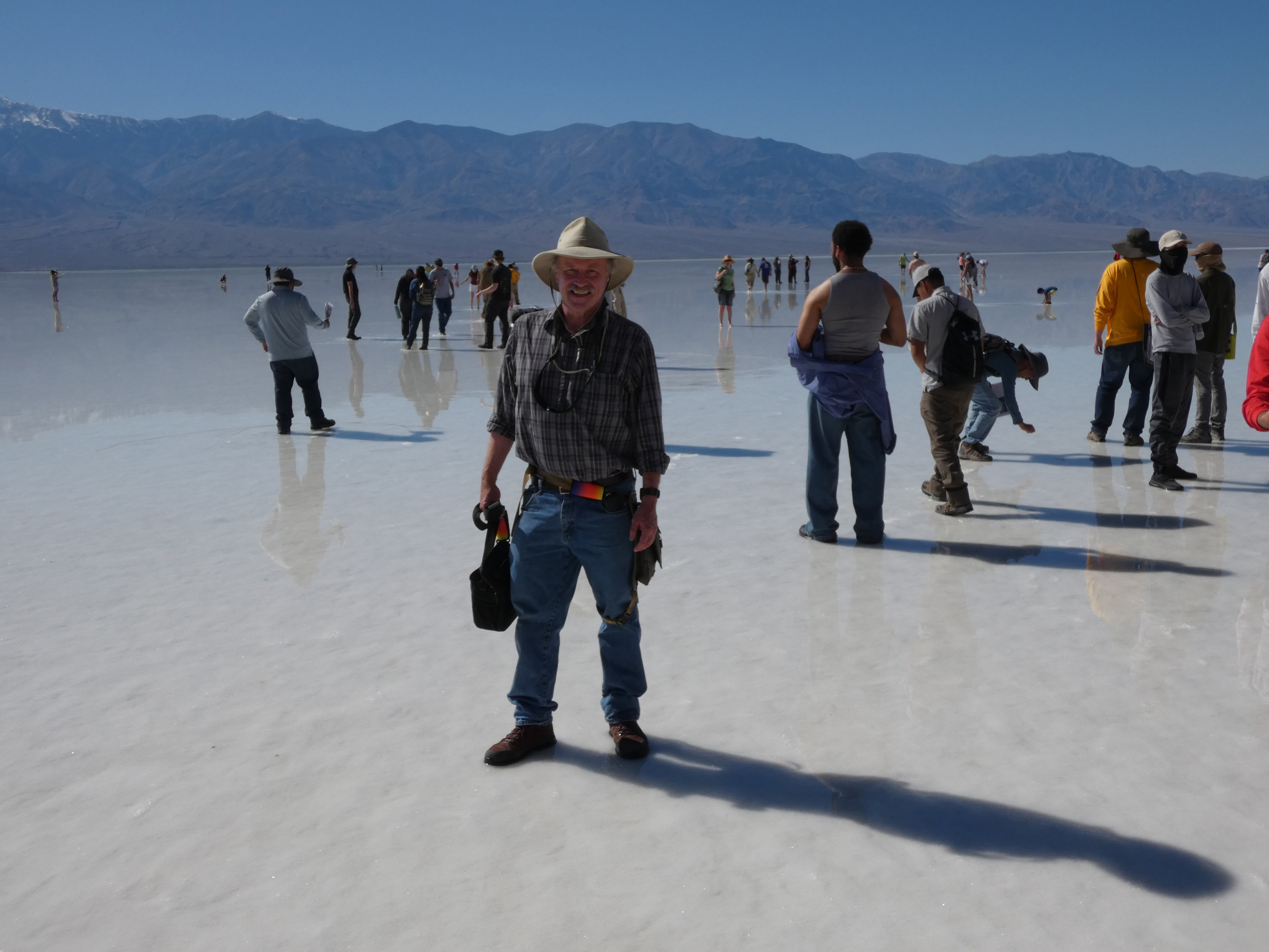
Death Valley is best known for its heat and for Badwater Basin, the lowest point in North America. This part of the valley fills with water that evaporates in the intense heat of Death Valley, leaving a thick crust of salt behind. Everyone on the trip enjoyed walking across this salt flat and tasting the brine, but the 98º weather was too intense for March!
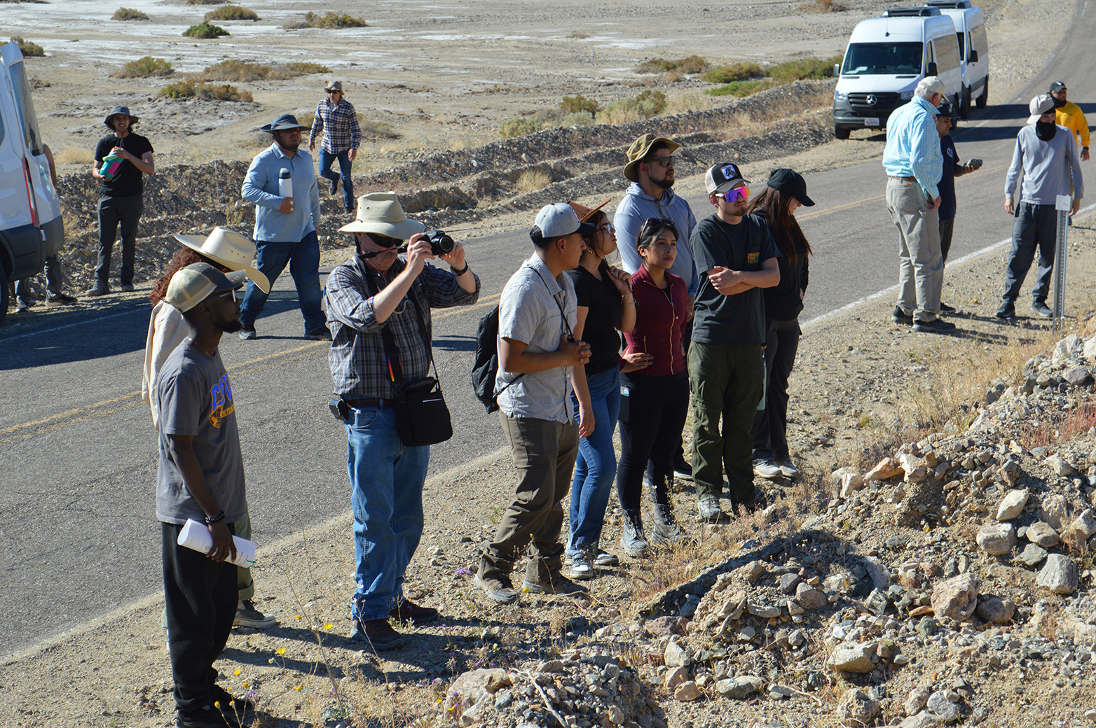
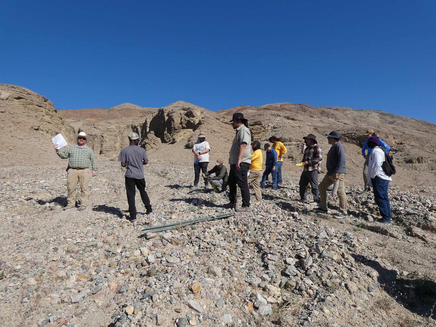
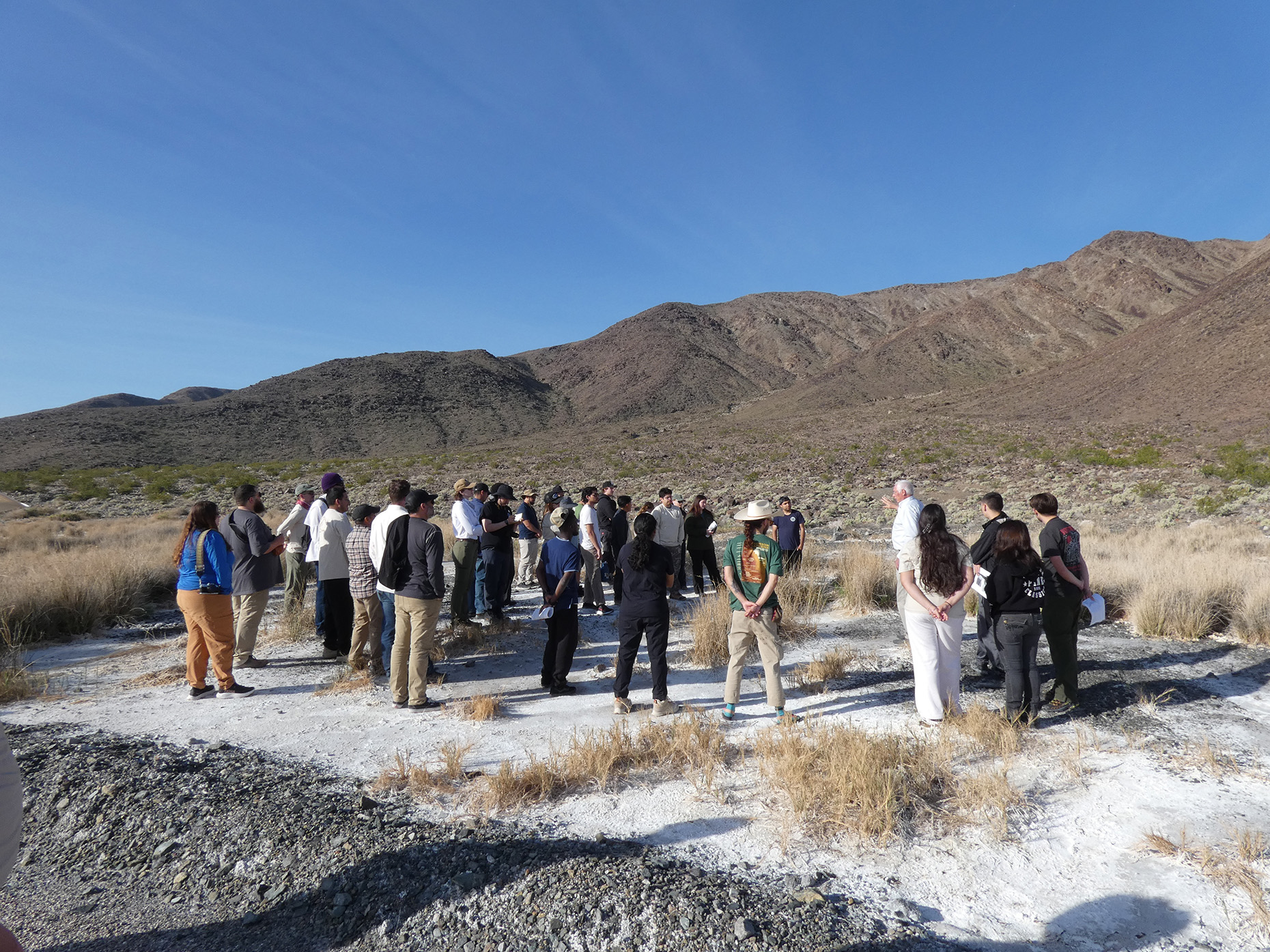
Death Valley - Mormon Point Turtleback
The so-called "turtlebacks" of Death Valley are geological features formed by the extreme crustal extension that created Death Valley. They have exhumed rocks from within the Earth to the surface at approximately 5-10 millimeters per year. This is as fast as the Himalayas! We visited the southernmost of these structures, known as the Mormon Point turtleback.
Zzyzx Desert Studies Center
Back at the Desert Studies Center, everyone cooled off and enjoyed a great meal of gyros while reminiscing about their day at Death Valley. After a short post-dinner Q&A session about careers and grad school, it was time to relax and prepare for the last day of the trip.
Sunday, March 15
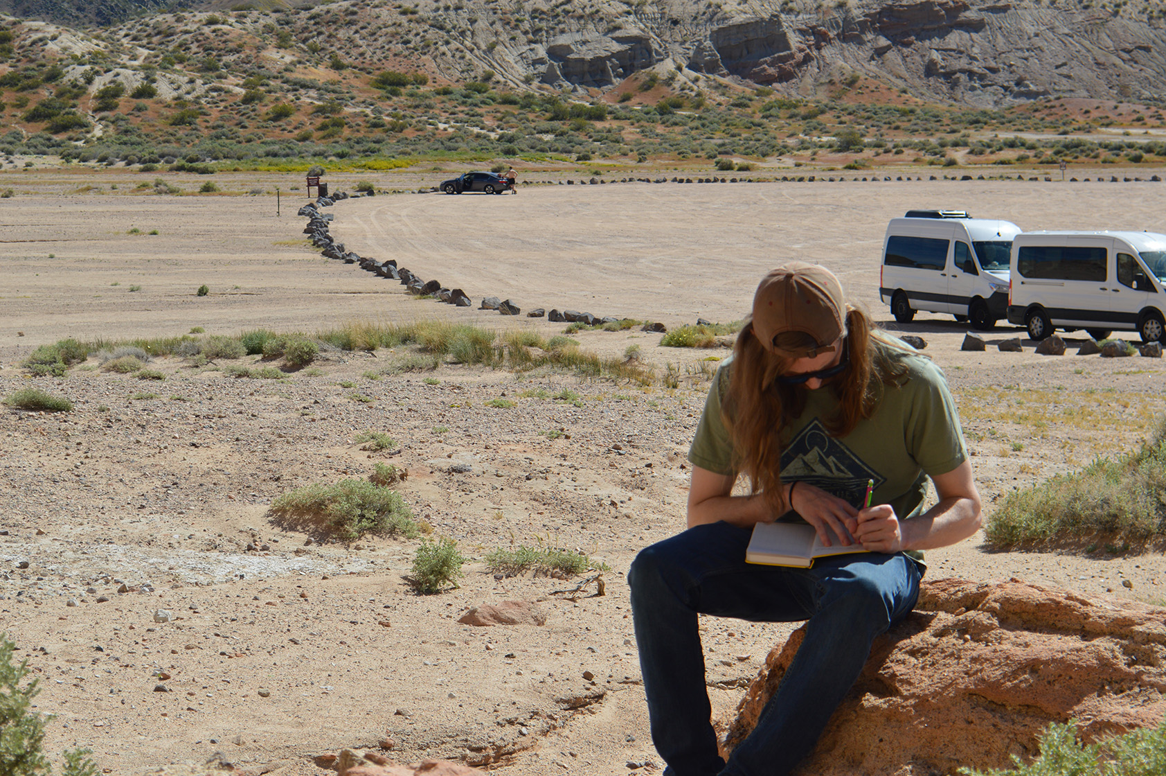
Soda Lake
Believe it or not, the Mojave Desert used to have extensive lakes. The last time these formed was during the melting of the last major Sierra Nevada glaciers about 12,000 years ago. After they evaporated, they left a salty crust behind. The desert landscape is still shaped by water whenever a good storm passes through.
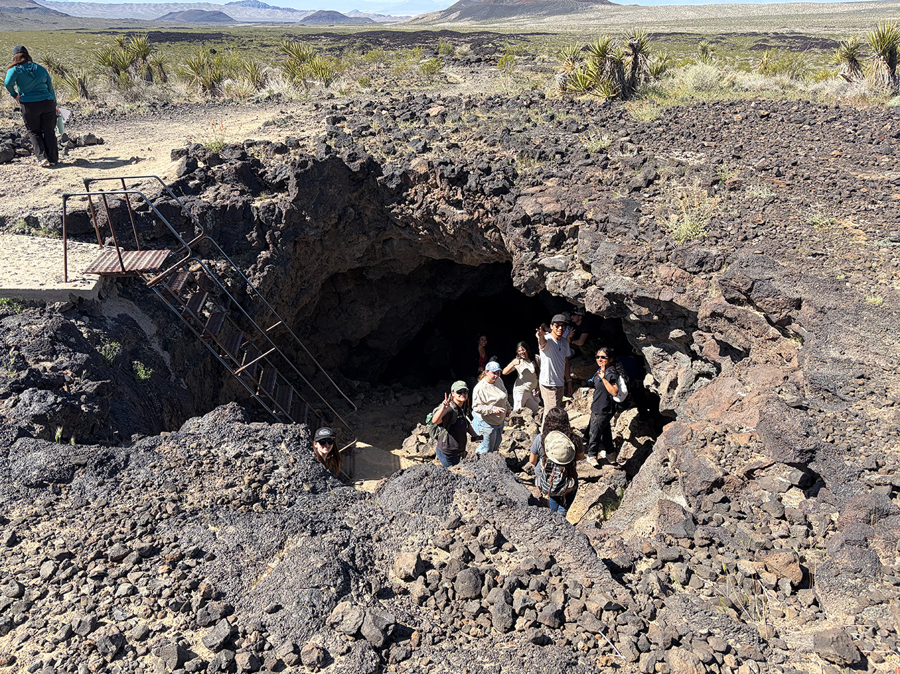
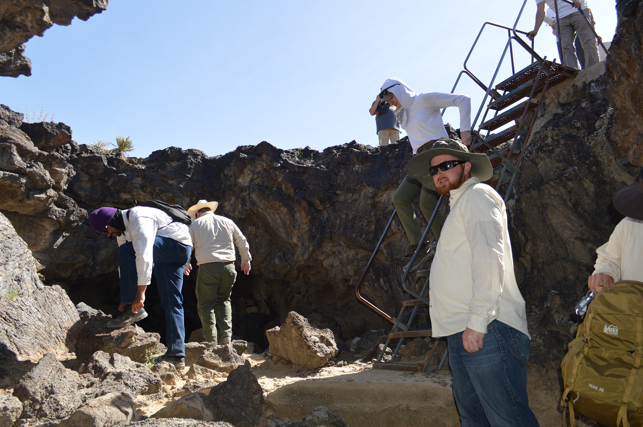
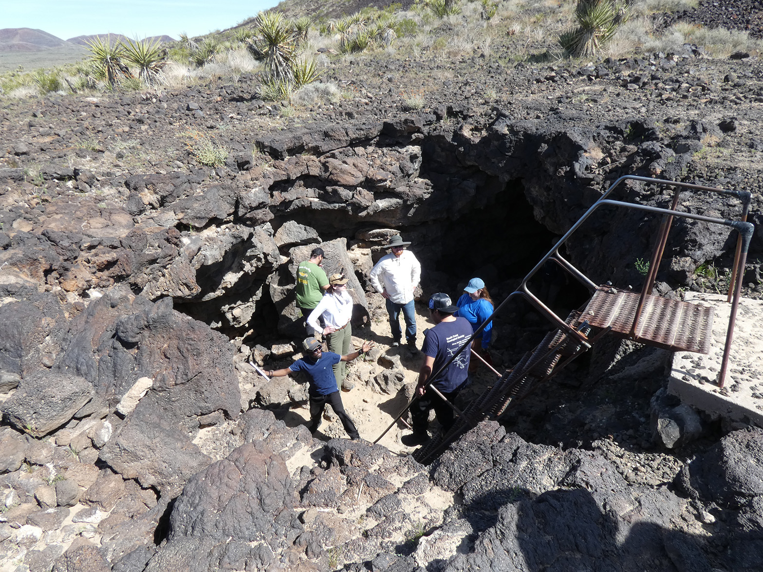
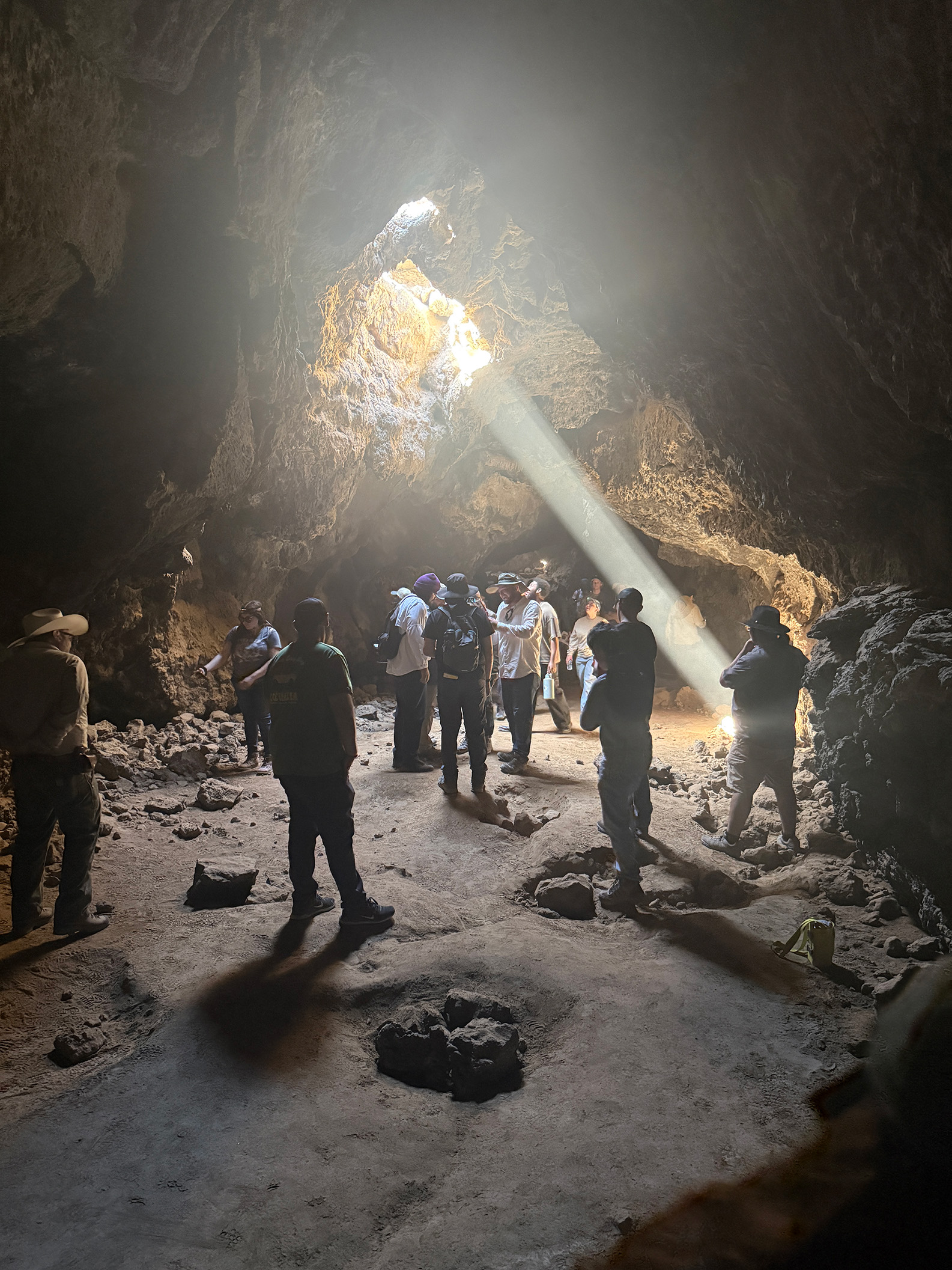
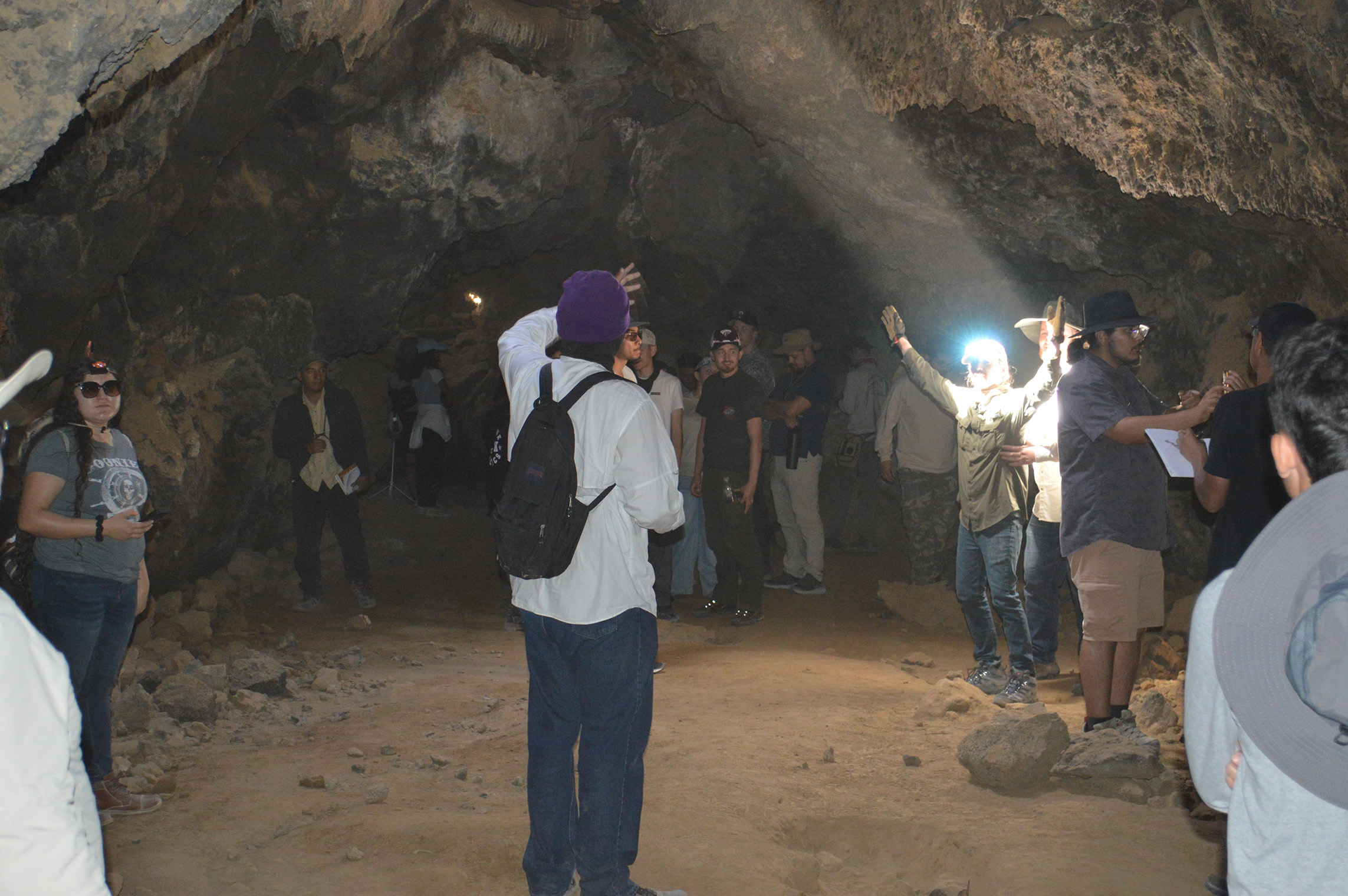
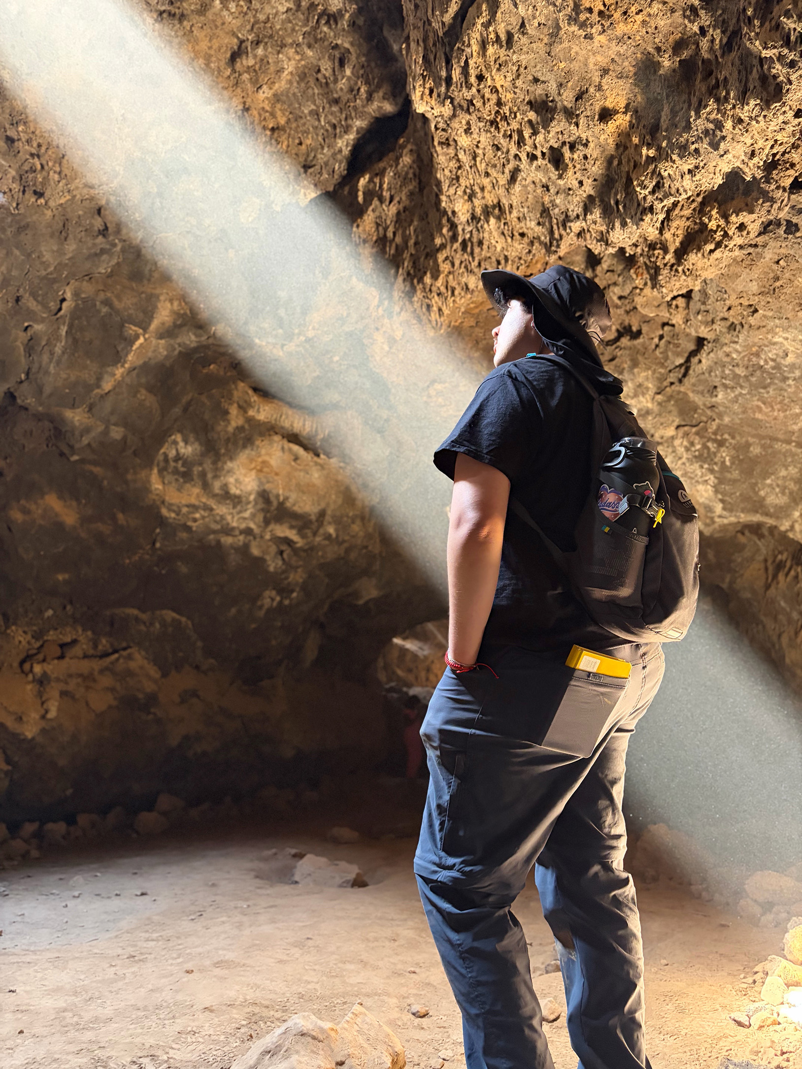
Cima Dome Lava Tube
Extension of the crust in the Mojave Desert led to the Basin and Range landscape and upwelling of hot rocks from Earth's mantle. Some of these rocks melted and formed volcanoes. One of these formed Cima Dome, and its eruption made a large lava tube that is exciting to explore.
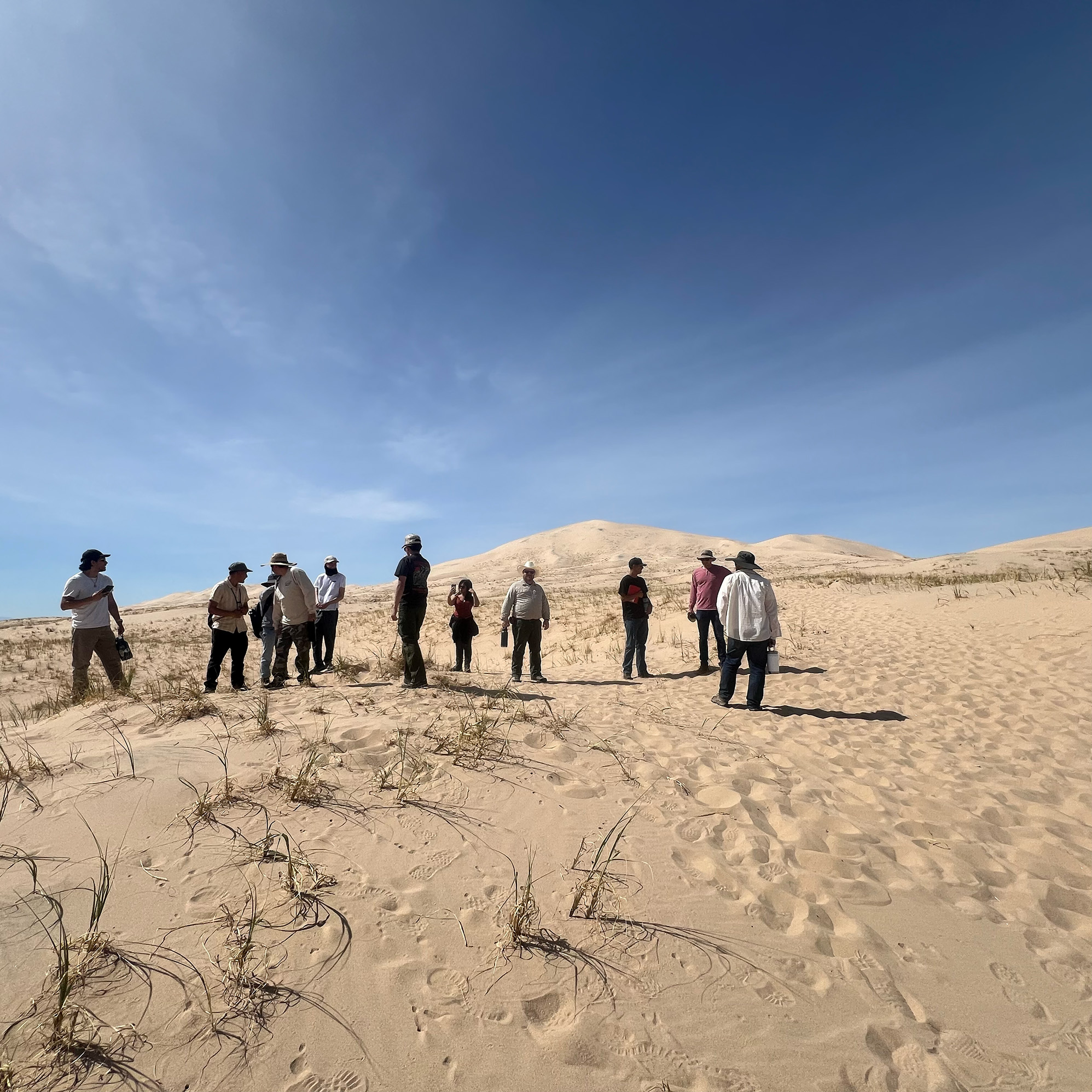
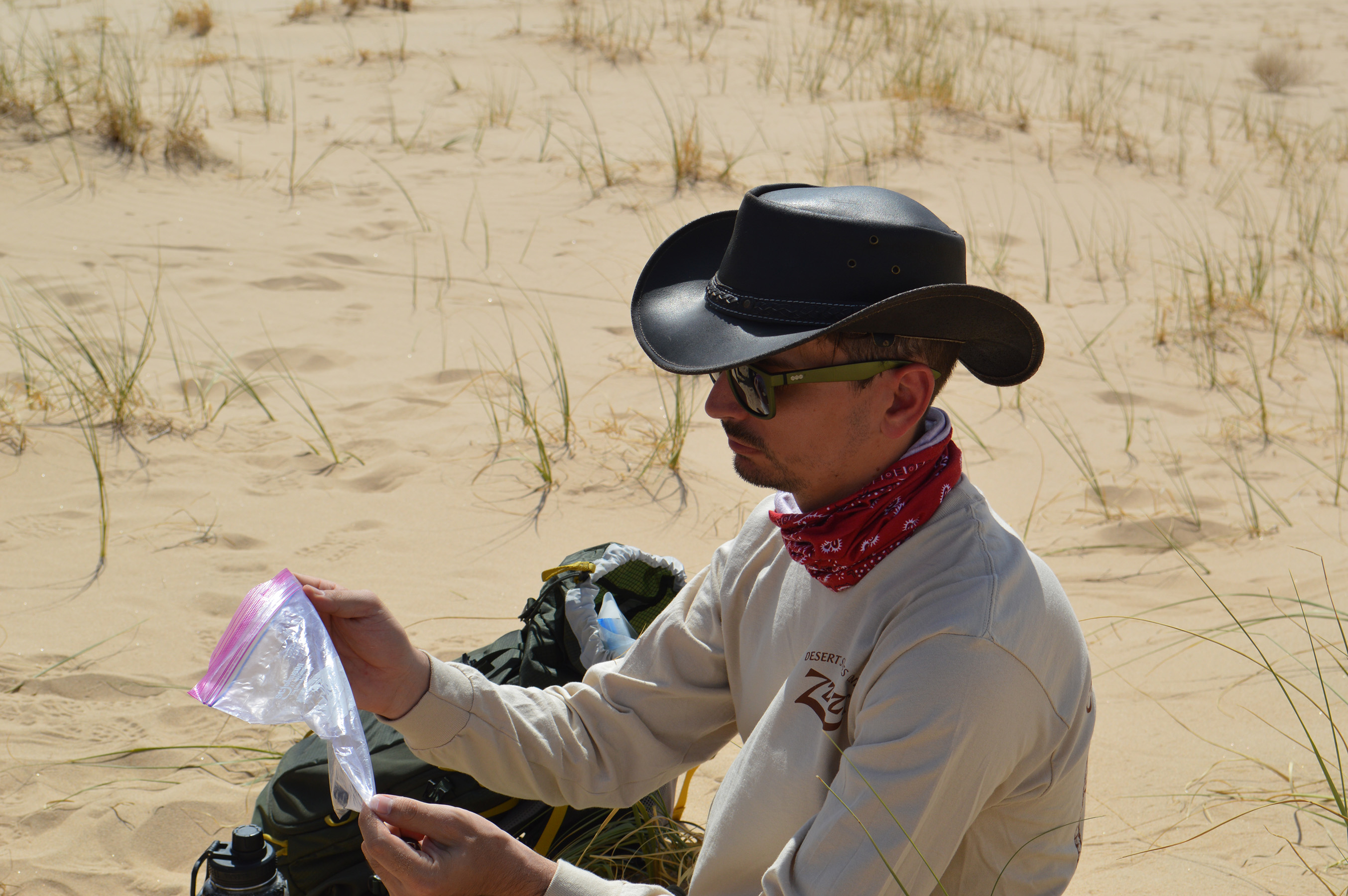
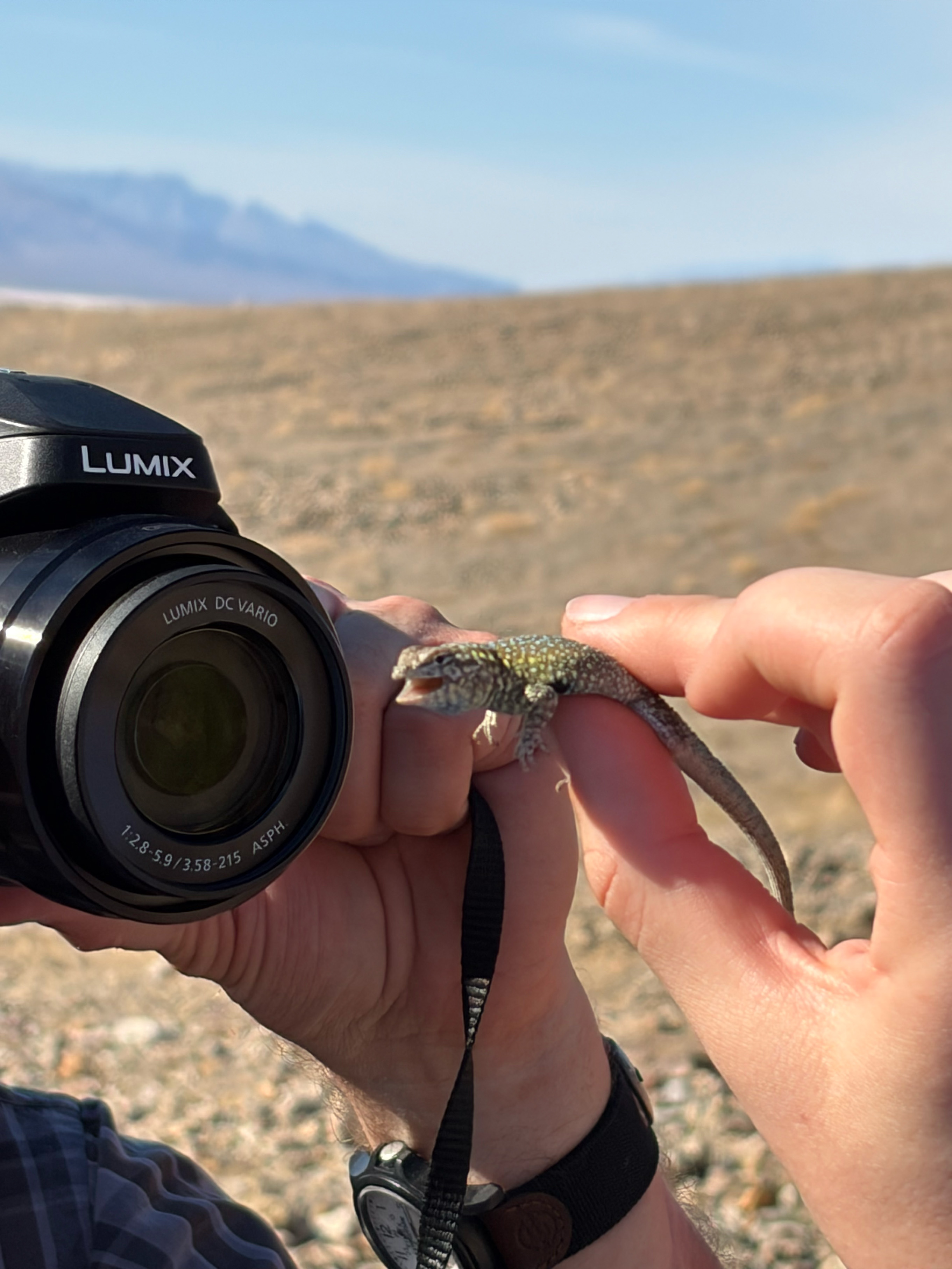
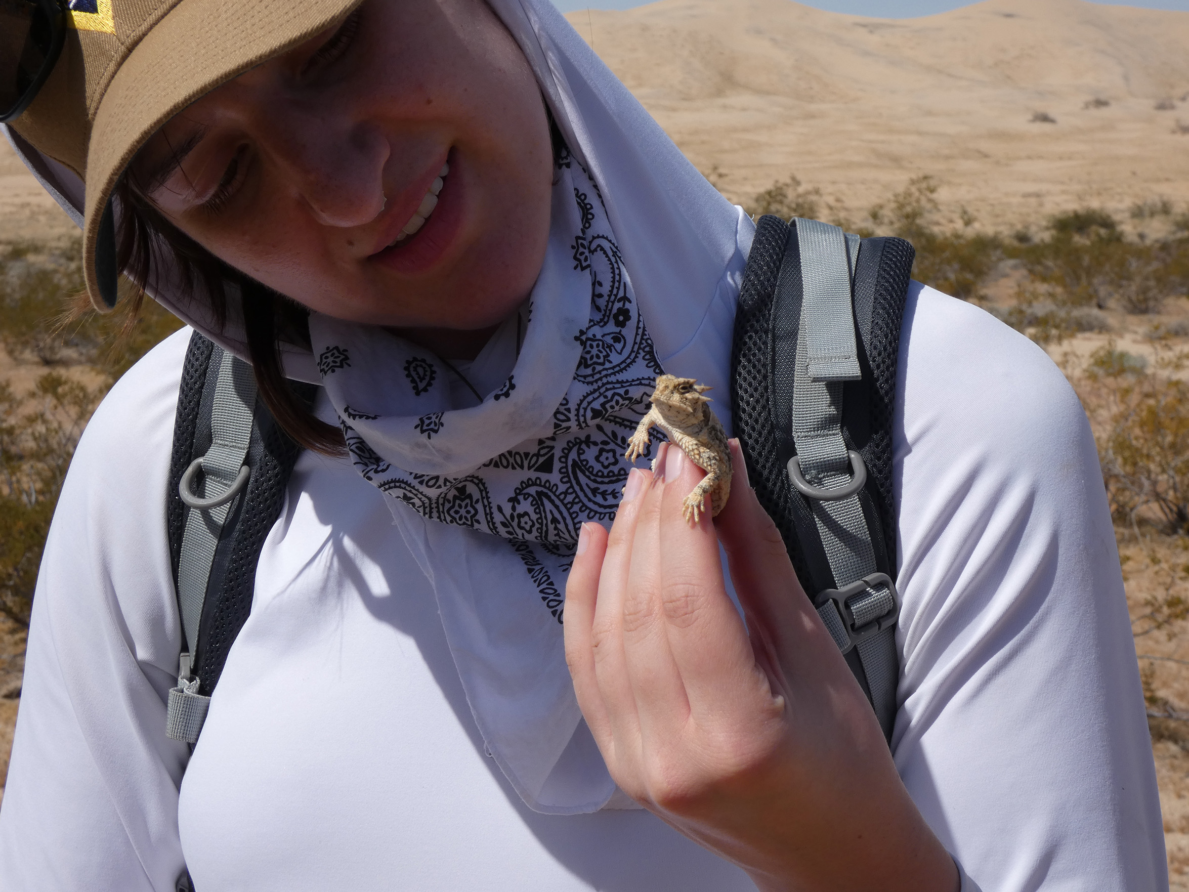
Kelso Dunes
Consistent winds in the Mojave Desert pile up large sand dunes in places like Kelso Dunes. These massive hills of sand are a haven for many desert creatures and pose a different kind of hiking challenge.